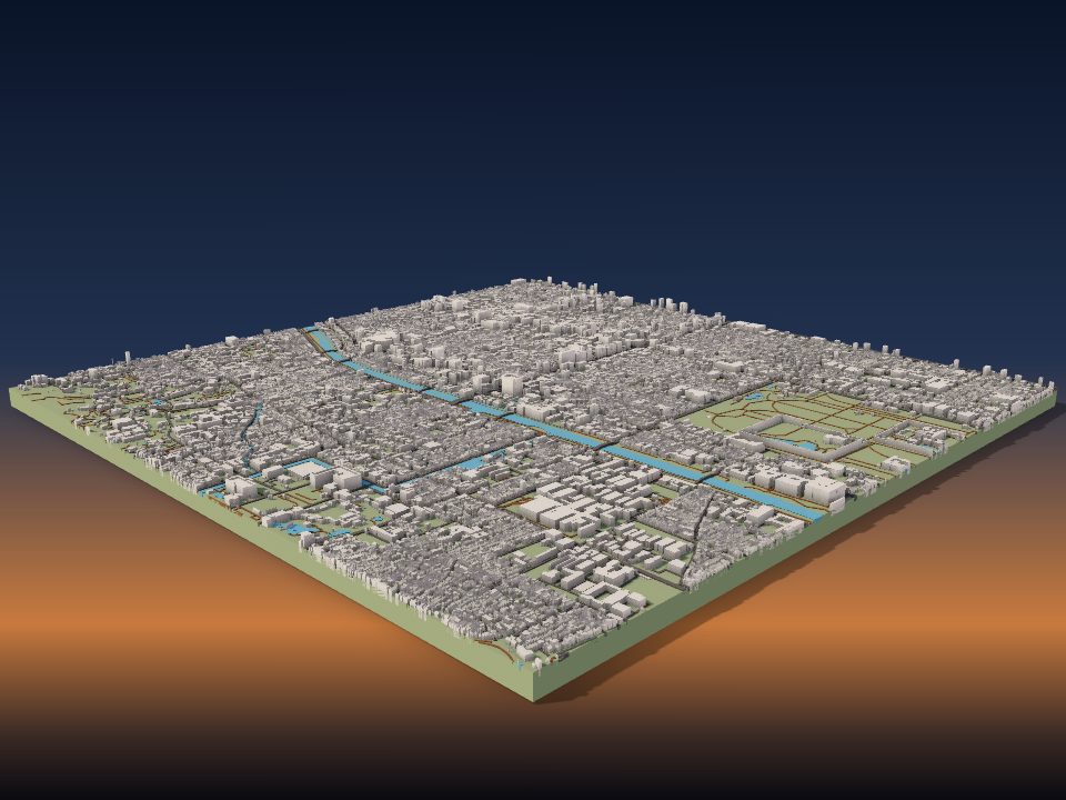
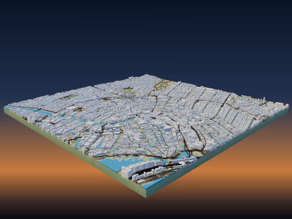
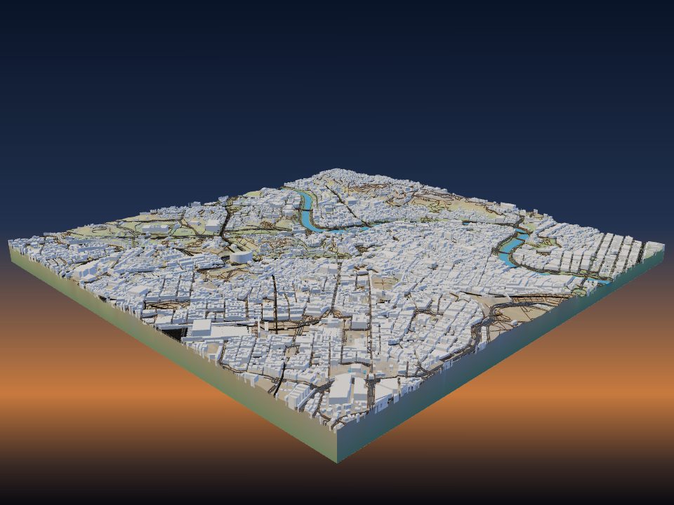
How to 3D print your city
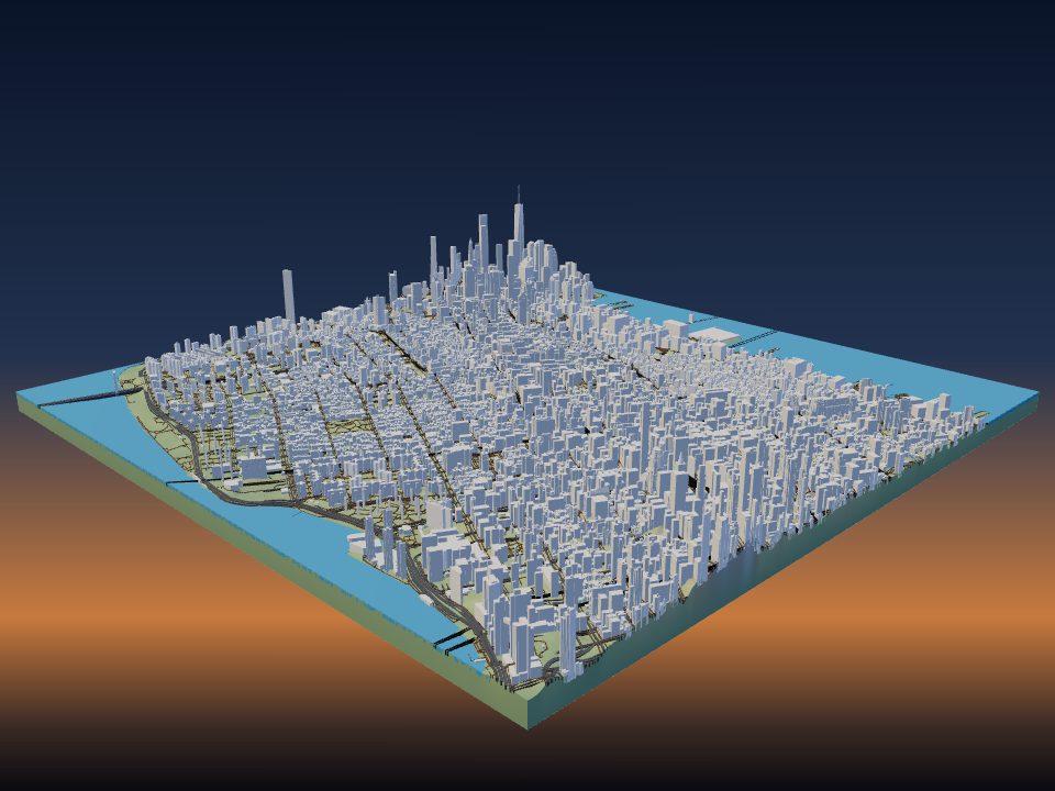
TerraPrinter builds a 3D model of any town from OpenStreetMap: every mapped building at its real height, with streets, rail, water and parks on the real ground. This guide covers how big an area to pick, which settings matter for a city, and how to print small buildings cleanly.
1. Pick the right area
Open TerraPrinter, type your city, neighbourhood or address into the search bar, and pick the result. The app draws an area that fits the place. You can also choose your own shape (Rectangle, Square, Circle, Hexagon, Polygon, Heart or Star) under step 1, Place, and drag its handles to move, resize or turn it.
The size of the area decides how big each building prints. The model is 200 mm across by default (Max print size under step 4, Print, goes from 50 to 500 mm). On a 200 mm model of a 2 km area, 1 mm on the print is 10 m on the ground, so a 10 m house prints 1 mm wide.
- A street or a few blocks (under 1.5 km): houses are big enough to show roofs, and close-up detail switches on.
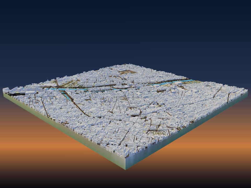
- A neighbourhood or old town (1–3 km): the best balance of detail and context for most cities.
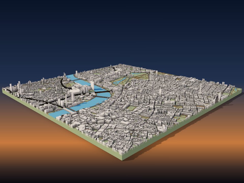
- A downtown or whole small city (3–6 km): towers and street patterns read well, but small houses get tiny.
- A large city (10 km and more): the street grid and the shape of the land read best; most single houses become specks.
One model can cover up to about 120 km × 120 km. For anything bigger, see printing large terrain models in tiles.
2. Where the buildings and streets come from
Buildings, roads, paths, railways, water and parks come from OpenStreetMap, the open map made by volunteers. The ground under them comes from Copernicus 30 m elevation data worldwide. Small models in the US, Canada and parts of Europe use 1–3 m laser-scanned (LiDAR) ground instead, so river banks and steep streets come out sharper.
Each building's height is taken from the first source that has it: a height tag on the map, a measured height from Overture Maps, the number of floors (3.2 m per floor), or a typical height for that kind of building. Mapped roof shapes print as real roofs, and buildings drawn in parts, such as a tower on a podium, keep their parts.
You choose what prints under step 3, Features: Buildings, Roads, Trails, Rail, Water, Parks and Trees each have a switch and a colour. If a building in your town is missing or has the wrong height, you can fix it on openstreetmap.org, and every map that uses OpenStreetMap gets better.
3. Building heights and details
Open the Buildings row under Features to tune them. The Buildings height slider multiplies every building's height, from 0.1× to 5×, and 1.0× is true to scale.
- Raise the height for a skyline that stands out on a big area, where true-scale towers would be only a few millimetres tall.
- Lower the height when a few tall, thin towers would wobble or snap off while printing.
- Hide buildings smaller than leaves out footprints that would print smaller than the size you set (0–5 mm), such as sheds and kiosks that come out as loose specks.
- Building details (on by default) adds floor lines to tall buildings and a raised edge round flat roofs, only where they are big enough to print.
For drawn-in extras, such as a new building that is not on the map yet, use Custom buildings at the end of the Features list. Custom buildings always print, even with the map's buildings turned off.
4. Famous landmarks swap in
With Landmark models switched on (the default), famous buildings such as the Eiffel Tower, the CN Tower or the Empire State Building print as detailed 3D models instead of plain blocks. A landmark swaps in when it sits wholly inside your area and Buildings are on.
Each landmark model is placed on its real outline from OpenStreetMap, so it lines up with the streets around it. You can see every one, and download them on their own, on the 3D landmarks page.
Try it: build the area round the Eiffel Tower.
5. Close-up detail for a street or a few blocks
When the longest side of your area is about 1.5 km or less, Close-up detail (under step 2, Style, on by default) adds much more to the model. The ground is coloured by gardens, fields and woods, roofs get their own colour with windows and chimneys, and trees, hedges, fences, walls and kerbs along the roads are added.
In close-up models, Paved areas prints car parks, town squares, pedestrian areas and markets as a thin flat surface in their own colour, with the roads on top. Both switches apply on the next Generate.
Close-up detail suits a gift of one street, a campus or a village centre. It is not used in the Minecraft style.
6. Flat city map or real terrain
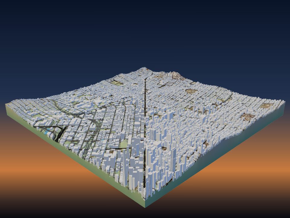
By default the buildings stand on the real ground, so a hilly city like San Francisco or Rio de Janeiro keeps its hills. The Vertical exaggeration slider (1.5× by default) makes the ground steeper or flatter; read how to choose vertical exaggeration for more.
For a clean map of a flat city, turn on Flat model under Style. It ignores elevation and prints a flat base plate with just the map features: buildings, roads, water and the rest. Flat models are easier to print in colour, because each colour starts at a fixed height.
If you want a city map to hang on the wall, the wall map maker makes a 3D-printed plaque, a laser-cut board or a poster from the same map.
7. Printing small buildings
Set your printer and nozzle under Your printer in step 4, Print. The download dialog then runs a print-ready check against them, with a one-click fix for each problem it finds:
- roads, paths or railways narrower than 0.8 × your nozzle, which may not print (fix: widen them);
- many buildings under 2 × your nozzle across, which print as specks or come loose (fix: hide them);
- a tall building that is very thin for its height, which may wobble or snap (fix: lower buildings);
- a base under 2 mm on a large print, which can warp (fix: make it 3 mm).
A 0.4 mm nozzle is a good default for city models. A 0.2 mm nozzle keeps more small houses but takes much longer. Thin layers, such as 0.12–0.16 mm, make roofs and floor lines smoother.
Buildings are made as closed solids that print without supports. Download the 3MF to keep the terrain, buildings, roads, water and parks as separate coloured parts for a multi-colour printer; see multicolour terrain maps. For more slicer advice, see print settings for terrain models.
8. Just one house: the home maker
To print a single home rather than a whole district, use Your home in 3D. Search the address or click a building, and the maker builds the house with its roof, the neighbours, the street and the trees on a small base with a name plate.
The outline, floors and roof come from OpenStreetMap. Where a house has no floors or roof shape on the map, it gets two floors and a gabled roof, and you can change both. Shift-click adds a garage or another wing.