Make 3D printable maps from your AI assistant
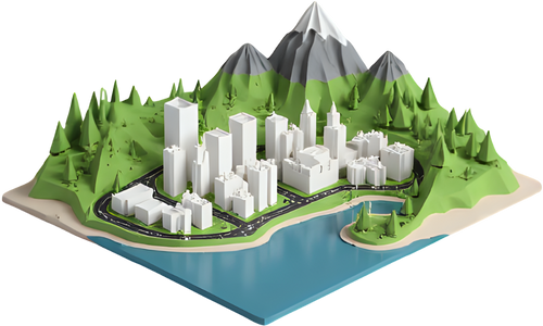
Ask Claude, ChatGPT or any other assistant for “a 3D printable model of Mount Fuji” and get a link that opens TerraPrinter and builds the model for you — ready to download as STL, 3MF, GLB or OBJ.
Claude — add the connector
https://terraprinter.com/mcp - In Claude, open Settings → Connectors and choose Add custom connector.
- Name it TerraPrinter, paste the URL above, and save. No sign-in needed.
- In a chat, enable TerraPrinter from the tools menu and ask: “Make me a 3D printable model of the Matterhorn.”
Works in Claude Desktop, claude.ai and Claude Code (claude mcp add --transport http terraprinter https://terraprinter.com/mcp) — and in any other MCP client that supports remote servers (Cursor, VS Code, LibreChat…).
ChatGPT — connector or Custom GPT
As a connector (ChatGPT Plus/Pro/Business with developer mode):
- Settings → Apps & Connectors → Advanced settings, turn on Developer mode.
- Create a connector, paste
https://terraprinter.com/mcp, authentication None.
As a Custom GPT:
- Create a GPT → Configure → Actions → Create new action.
- Import from URL:
https://terraprinter.com/openapi.json, authentication None. - Instructions, for example: “When the user wants a 3D print, map or model of a place, call createModel and give them the model_url.”
Any assistant — plain links
No setup needed: assistants that read llms.txt can link straight to a model. Opening one of these builds it automatically:
- https://terraprinter.com/make?place=Mount+Rainier
- https://terraprinter.com/make?lat=40.7484&lon=-73.9857&km=3&shape=square
- https://terraprinter.com/make?place=Olympus+Mons&world=mars
place | Place name — or give lat and lon instead. |
world | earth (default), mars or moon. |
km | Width of the area in km. Up to 120 on Earth, 2000 on Mars, 1000 on the Moon. Default: chosen from the place. |
shape | circle, square, rect or hexagon. |
layers | Comma list of buildings,water,roads,trails,rail,parks, or none for bare terrain. |
size_mm | Printed width in mm (default 200). |
vertical_exaggeration | Height multiplier (default 1.5). |
base_mm | Base thickness in mm (default 5). |
Add format=json (or call /make/link) to get the links as JSON instead of a redirect; /make/search?q=… lists matching places.
Models are generated in your browser from Copernicus DEM elevation and OpenStreetMap data; place names come from OpenStreetMap Nominatim and the IAU planetary gazetteer. TerraPrinter only receives the place and settings your assistant sends, never the conversation; place searches are cached to spare the geocoder. See the privacy policy.