How to 3D print a topographic map
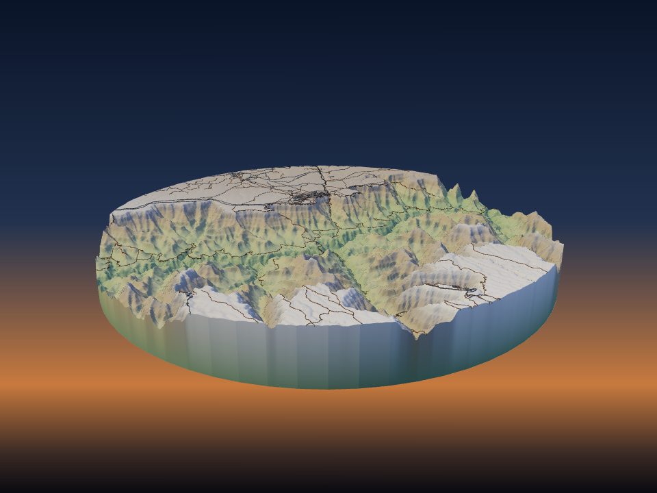
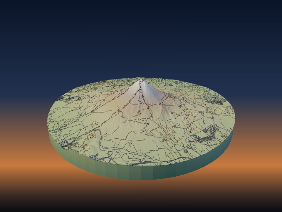
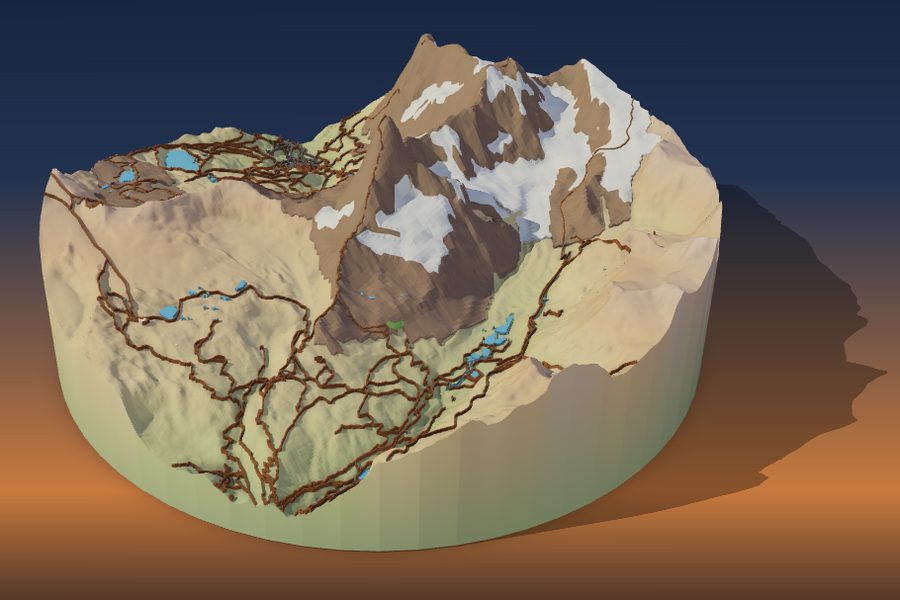
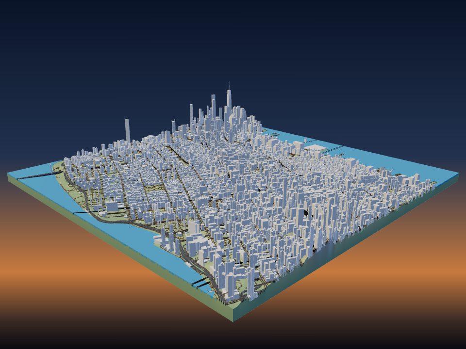
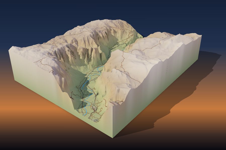
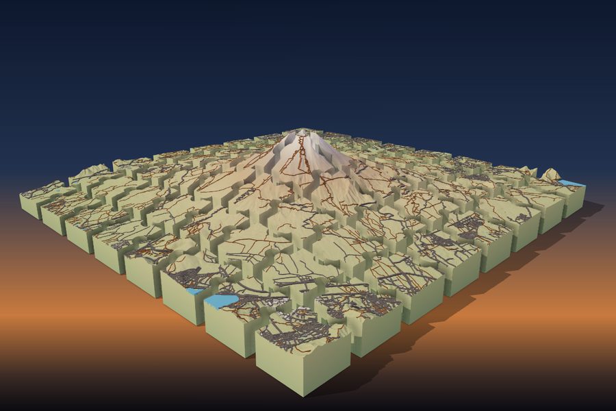
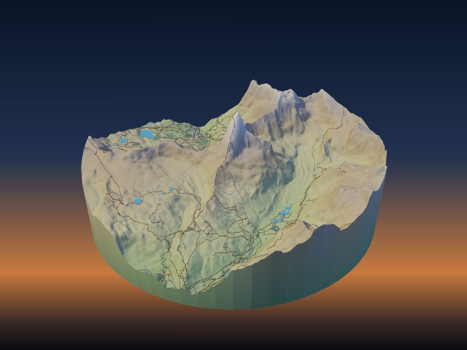
A 3D-printed topographic map shows the real shape of the land: the peaks, valleys and coastlines you can only read from contour lines on paper. Here is how to make one of any place, from choosing the area to taking the print off the bed.