Terrain to STL, in your browser
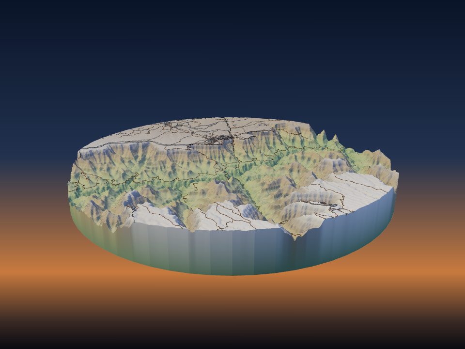
The model is built on your own device. There's no queue and no upload, and the file is ready as soon as it's generated. Pick STL for any slicer, 3MF for multi-colour, GLB for AR or OBJ for other 3D software.
 TerraPrinter
Make your own
What to look for when turning real terrain, buildings and map data into a 3D-printable model, and how TerraPrinter handles each part.
TerraPrinter has been live and in daily use since March 2025. It now generates more than 3,000 models every day, of mountains, cities, coastlines, national parks and hometowns all over the world. Each release adds what people ask for through the in-app suggestions box, from jigsaw puzzles and multi-colour terrain to other planets.
Use these questions to judge any tool that turns maps into 3D prints. Next to each one is how TerraPrinter answers it today.
| Feature | What to ask | TerraPrinter |
|---|---|---|
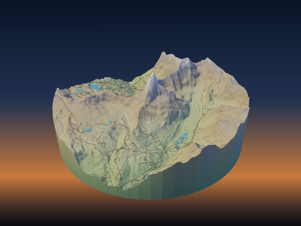
| Terrain elevation | Where does the height data come from, and how detailed is it? | Copernicus GLO-30 (about 30 m) worldwide, with Mapzen Terrain Tiles as a fallback. Adjustable vertical exaggeration, mesh smoothing and sea-level offset. |
| Sea floor | Can it model the ocean bed, or is the sea a flat sheet? | Yes: bathymetry mode prints real sea-floor relief for ocean and coastal areas. |
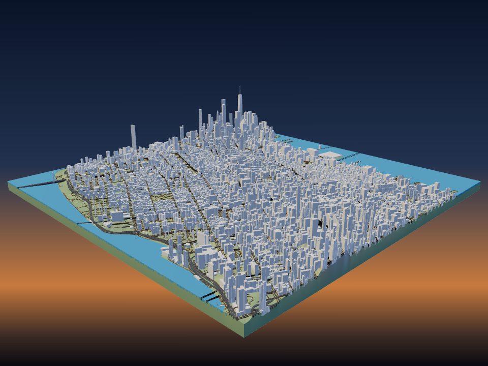
| Buildings | Are buildings real footprints with real heights, standing on the terrain? | OpenStreetMap footprints using mapped heights and building parts, placed on the terrain. You can also draw your own buildings and add window facades. |
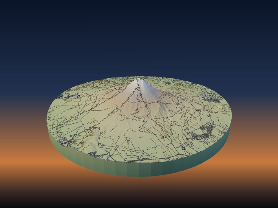
| Roads, rail and trails | Are they separate, adjustable features? | Yes, each with its own width and height: roads, railways and trails. |
| Water | Rivers, lakes and coastline? | Water from OpenStreetMap, cut to an adjustable depth, with island-aware coastlines. |
| Vegetation | Parks, forests, trees? | Raised parks plus optional 3D trees scattered across parks and greenery. |
| Coverage and area | Does it work everywhere, and how big an area? | Anywhere on Earth, up to about 120 × 120 km per selection. Also Mars, the Moon, Mercury, Venus, Pluto, Charon, Ceres and Vesta. |
| Shapes | Are you stuck with a rectangle? | Rectangle, square, circle, hexagon or any polygon you draw. |
| Print size | What happens when the model is bigger than your print bed? | Set the size from 50 to 500 mm, then split it into a grid of tiles or interlocking jigsaw puzzle pieces with an adjustable fit gap. |
| Multi-colour | Can the parts be printed in different filaments? | 3MF keeps terrain, water, roads, buildings and routes as separate parts. Surface colours split the terrain itself into forest, grass, rock, sand, glacier or snow, or into colours taken from satellite imagery. |
| Extras | Frames, labels, routes? | Raised frame, embossed place name and coordinates, contour lines, and GPX tracks with a colour per route. |
| Export formats | Which files can you download? | STL, 3MF, GLB and OBJ. |
| Print-ready geometry | Is the mesh closed, and can you check before you print? | Closed, watertight solids with a built-in mesh check, plus a filament and print-time estimate for PLA, PETG, ABS or TPU. |
| Preview | Can you see it before downloading? | Interactive 3D preview in the browser and a view-in-your-room AR mode on phones. |
| Accounts | Do you have to sign up? | No. A free, optional account saves builds to edit later and share in the public gallery. |
| Price | What does it cost? | Free: no paywalled exports, no watermarks, no ads. |
Reviewed 2026-10-20 against the live app. Only shipped features are listed.
The model is built on your own device. There's no queue and no upload, and the file is ready as soon as it's generated. Pick STL for any slicer, 3MF for multi-colour, GLB for AR or OBJ for other 3D software.
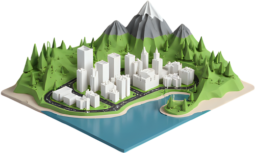
Buildings, roads, railways, trails, water and parks come from OpenStreetMap. Each is a separate layer with its own height and width, sitting on real terrain instead of a flat plate.
Every layer is its own 3MF part. Surface colours turn the terrain into forest, rock, sand and snow regions, or into a few filament colours taken from satellite imagery.
Split large models into tiles or interlocking jigsaw pieces that each fit your printer, with an adjustable fit gap so they go together cleanly.
Print Olympus Mons on Mars, craters on the Moon, Maxwell Montes on Venus or Sputnik Planitia on Pluto, using NASA and USGS elevation data.
Ask ChatGPT, Claude or another assistant for a model of a place and get a ready-to-open TerraPrinter link. See how.
All 442 ready-to-print 3D maps → · FAQ · 3D map gift ideas · Free classroom lesson kits
Free, no account needed, and your first model takes about a minute.
Open TerraPrinter