Choose a heightmap to see it here.
How to use the heightmap to STL
- Choose the heightmap, or any PNG or JPEG, or drop it on the page.
- Set the width, the relief height and the base thickness.
- Choose whether light or dark is high, the detail and the smoothing.
- Download the STL or 3MF.
Questions
What is a heightmap?
A greyscale picture where the brightness of each pixel is a height: white is the highest point and black the lowest. Terrain, depth maps and some textures come as heightmaps.
Are 16-bit heightmaps supported?
They load, but are read with 256 levels of grey like any picture, so very gentle slopes can show small steps. Smoothing hides most of them.
Can I make a terrain model of a real place?
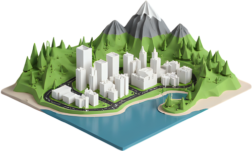
Yes, and without a heightmap: the TerraPrinter map builds one from real elevation data for anywhere on Earth, with roads, buildings and water.
Is the model watertight?
Yes. The relief, its four sides and the flat bottom form one closed solid that slicers read without repairs.
Make a terrain model of any place
More free 3D printing tools
Everything runs in your browser and nothing you make is uploaded. Free for personal and commercial use. How-to guides · 3D map gifts