3D printable maps: Mountains
473 places, each a free STL or 3MF model made from real elevation data. Pick one to download it, or to change the area, size and colours first. Best-known places come first.
No place by that name yet. You can still make a map of it: open TerraPrinter and search for it there. Make your own
People's Republic of China 26
Switzerland 24
Germany 18
United States 17
United Kingdom 14
Greece 13
Nepal 13
Pakistan 13
France 11
Canada 9
Japan 9
Norway 9
Russia 9
Spain 9
Italy 8
Peru 8
More countries 121
Showing 241–300 of 473

Mount Tarawera
New Zealand

Ortler
Italy
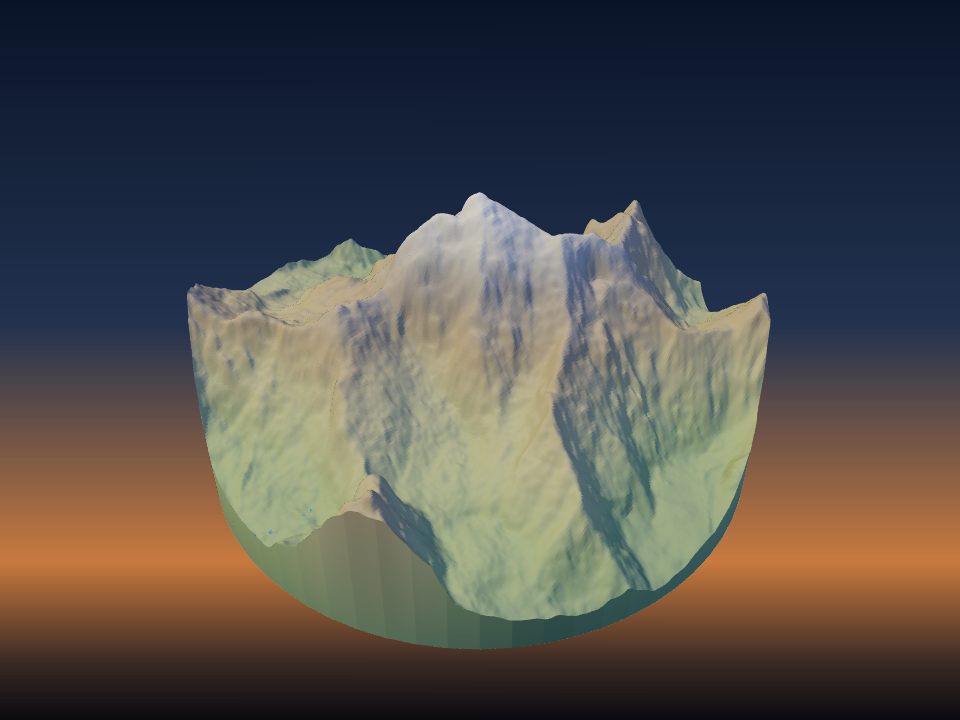
Peak Ozodi
Tajikistan
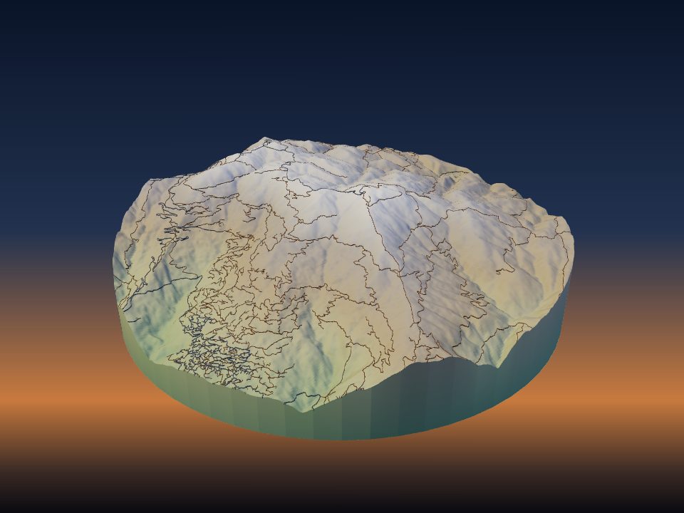
Pelion
Greece
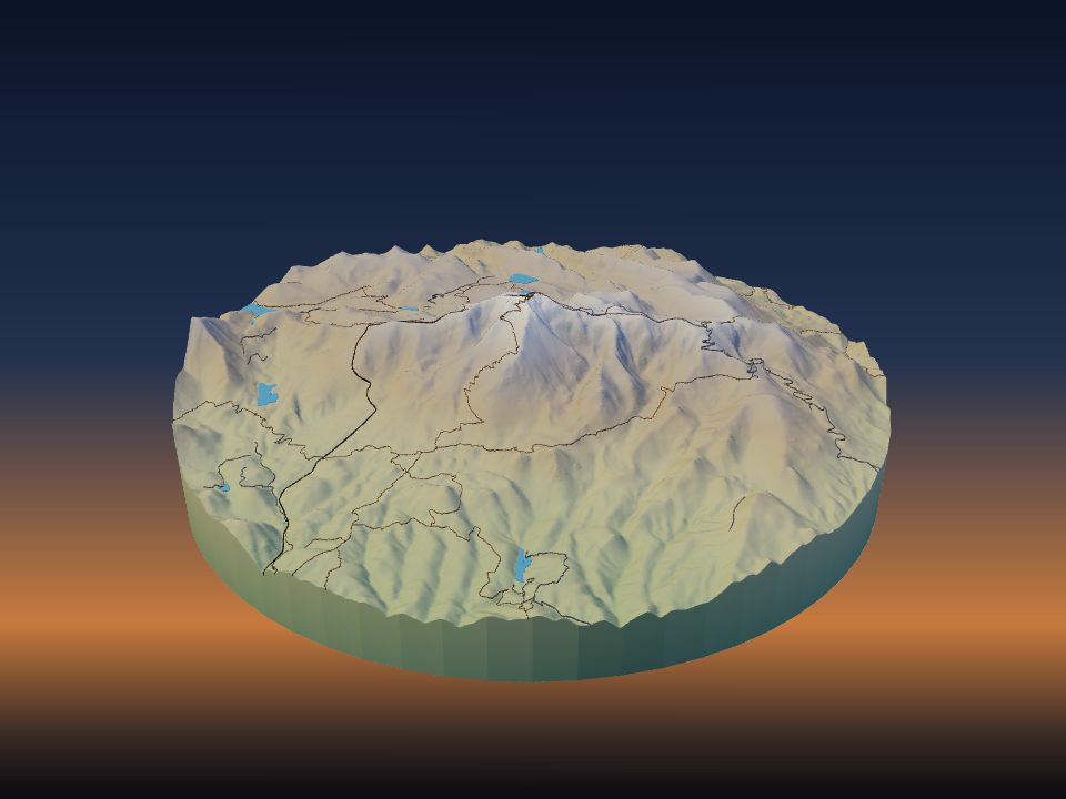
Pikes Peak
United States

Qurnat as Sawda'
Lebanon
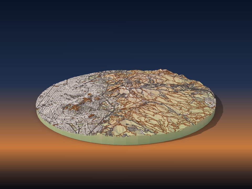
Tibidabo
Spain
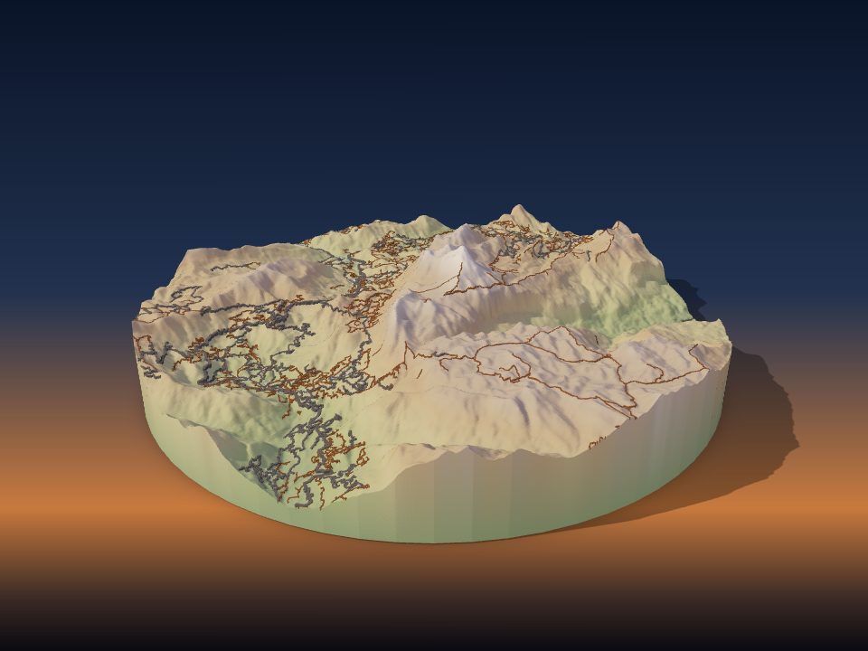
Anamudi
India

Aukštojas Hill
Lithuania
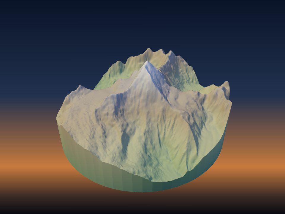
Chogolisa
Pakistan
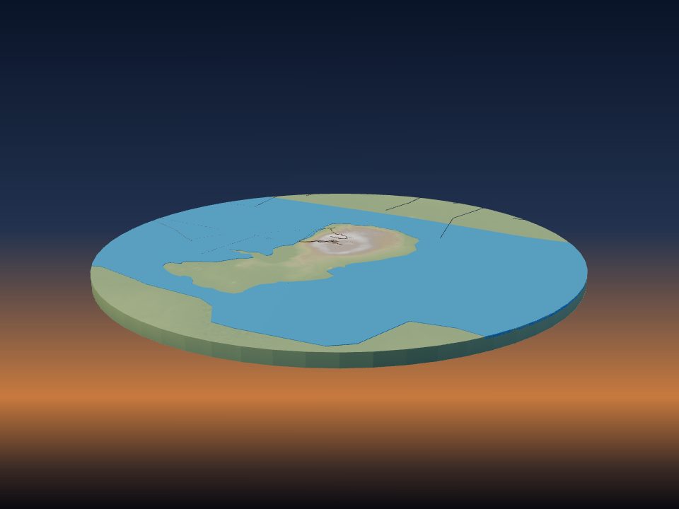
Dallol
Ethiopia
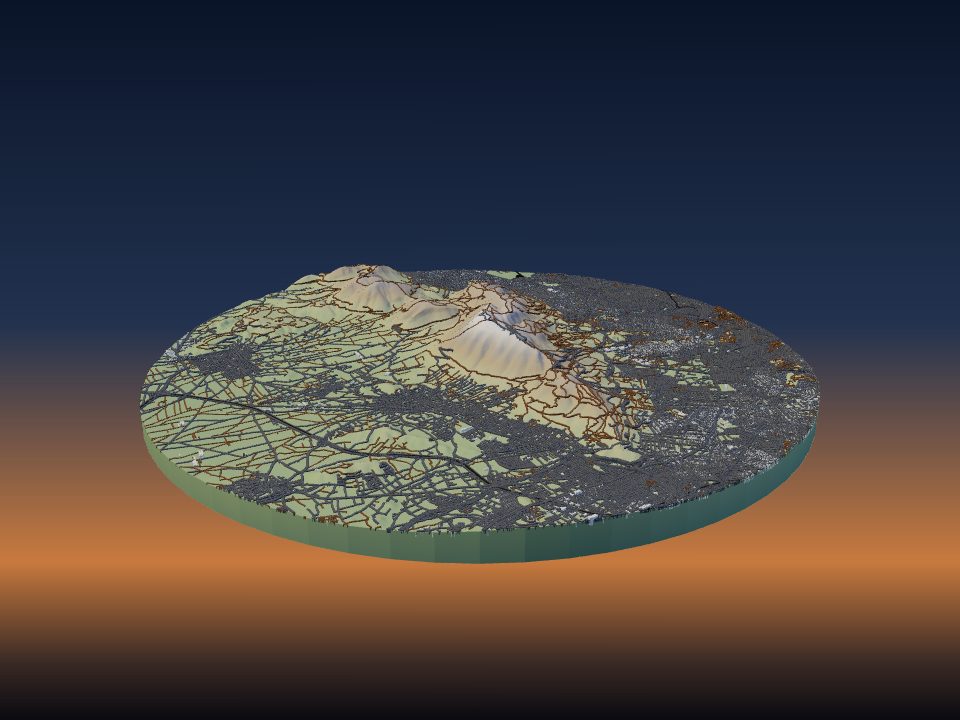
Hymettus
Greece

Jabal an Nabi Shu'ayb
Yemen
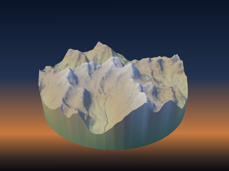
Khazret Sultan
Uzbekistan

Kneiff
Luxembourg

Mont Orohena
France

Mount Kita
Japan
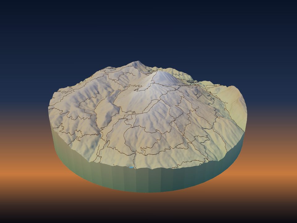
Mount Ossa
Greece

Mount Tabwemasana
Vanuatu

Penteliko Mountain
Greece

Phnom Aural
Cambodia

Pico Almanzor
Spain
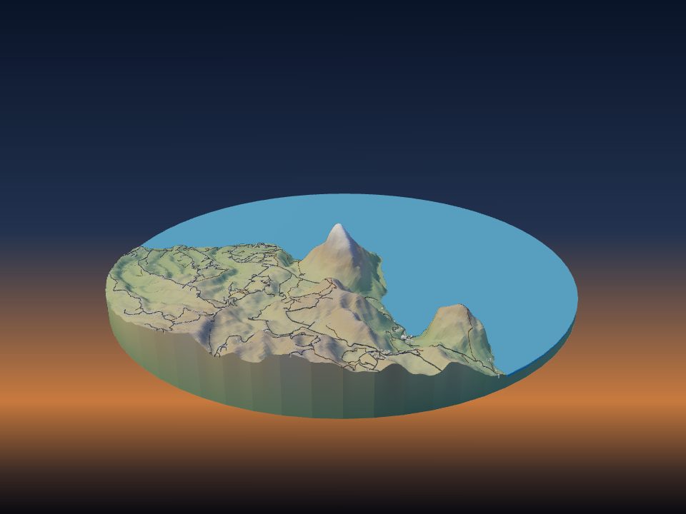
Pitons
Saint Lucia

Popa Hill
Myanmar
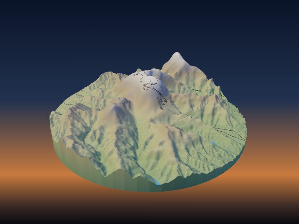
Tianmen Mountain
People's Republic of China
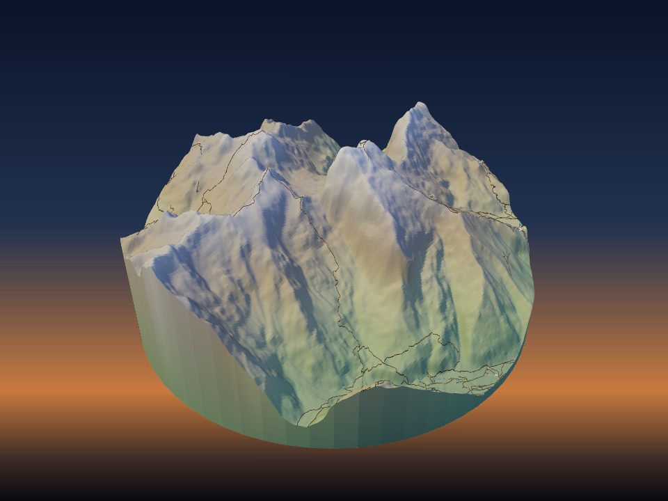
Titlis
Switzerland
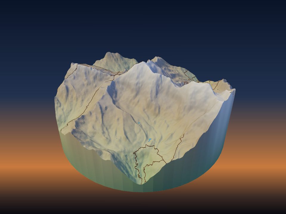
Weissmies
Switzerland
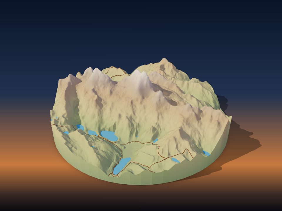
Yerupajá
Peru
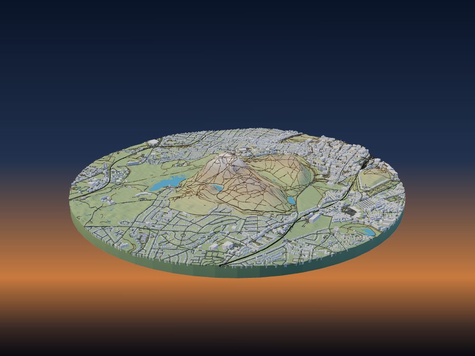
Arthur's Seat
United Kingdom
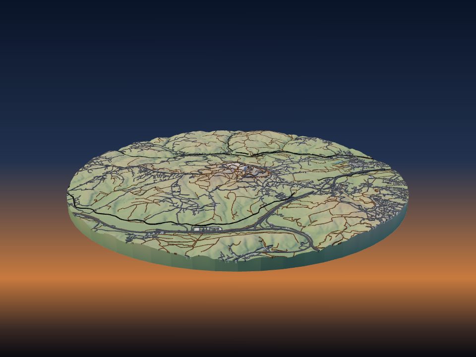
Avala
Serbia

Barre des Écrins
France
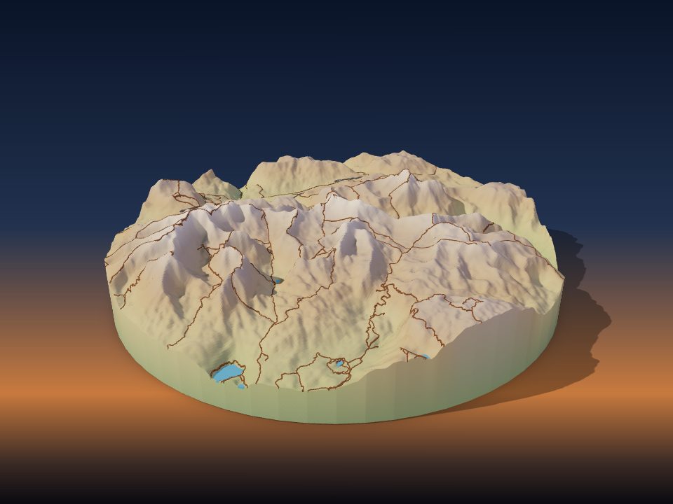
Bobotov Kuk
Montenegro
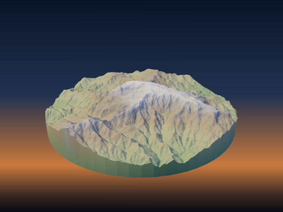
Chappal Waddi
Nigeria

Dent Blanche
Switzerland

Großer Arber
Germany

Huayna Potosí
Bolivia

Jakupica
North Macedonia

Jebel Moussa
Morocco
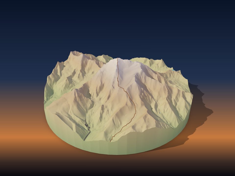
Mercedario
Argentina

Midžor
Serbia

Monkh Saridag
Russia

Mont Dolent
Switzerland

Montjuïc
Spain

Mount Fairweather
Canada
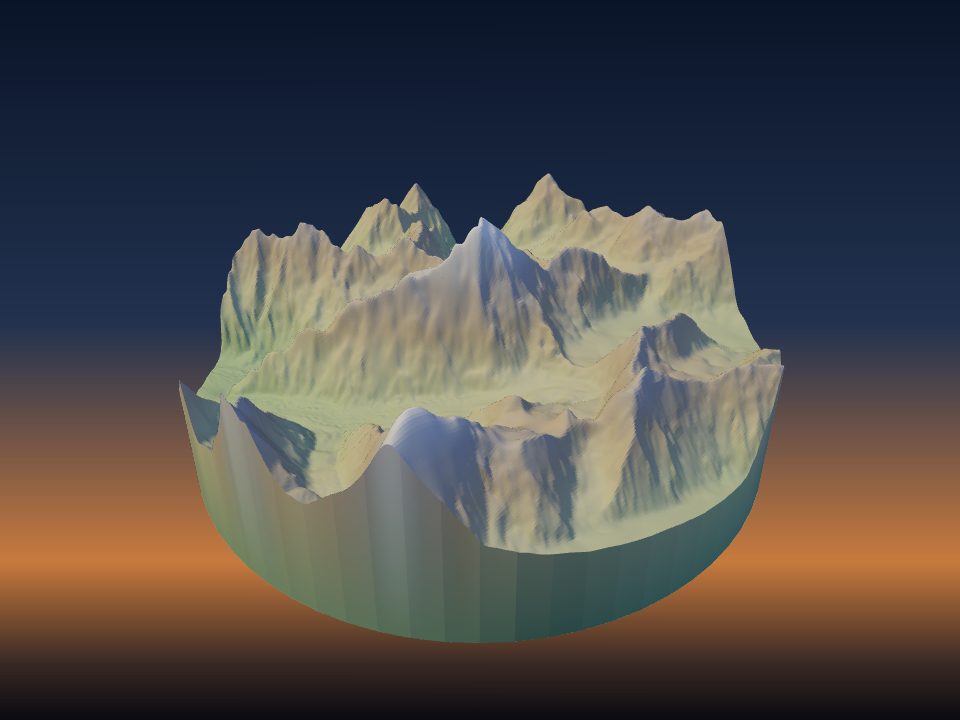
Muztagh Tower
Pakistan

Newtontoppen
Norway
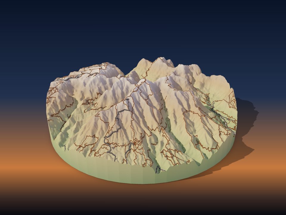
Pico Ruivo
Portugal

Rimpfischhorn
Switzerland

Saser Kangri
India
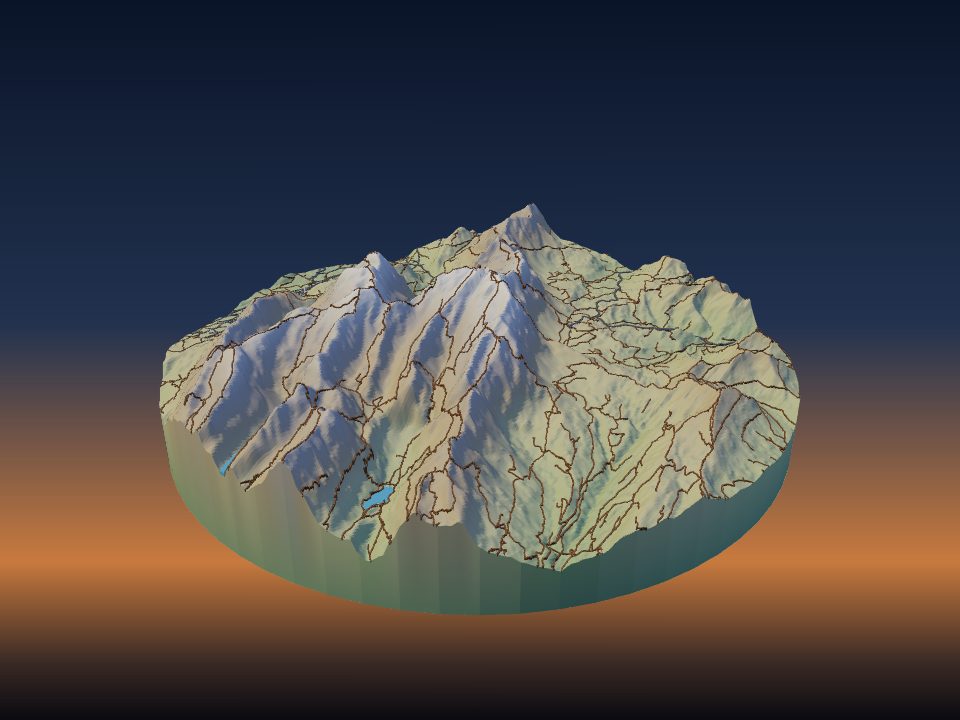
Säntis
Switzerland
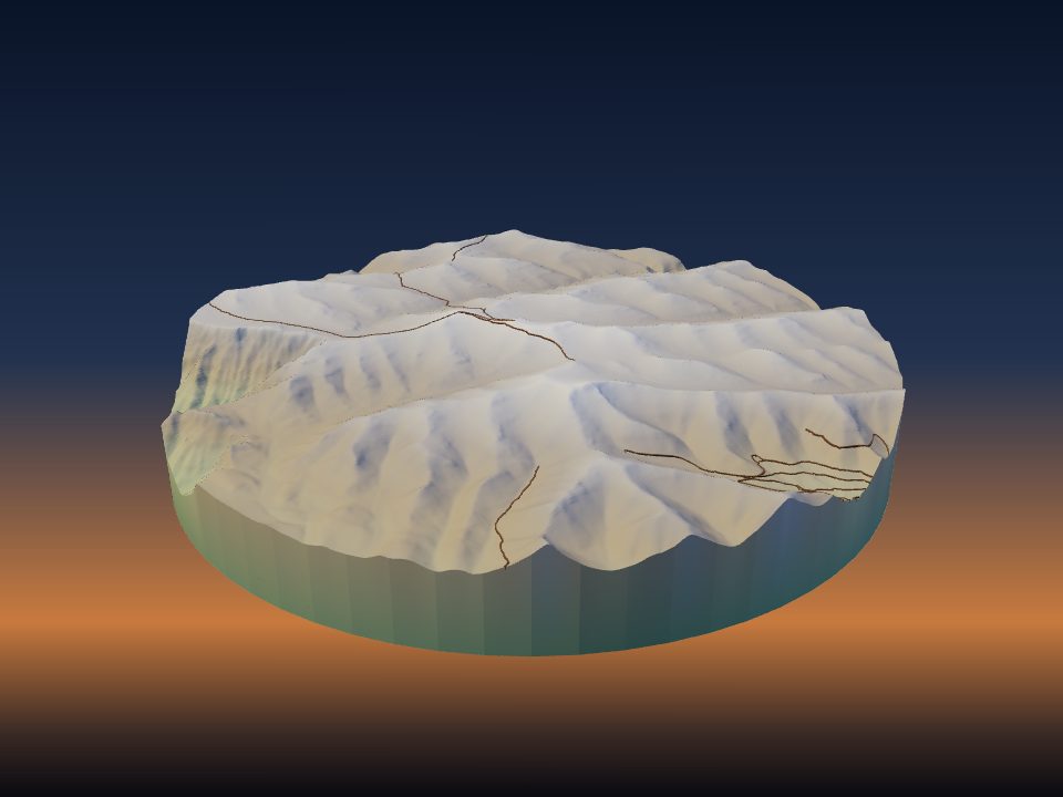
Thabana Ntlenyana
Lesotho

Aoba Island
Vanuatu

Changtse
People's Republic of China

Dent d'Hérens
Switzerland

Esja
Iceland
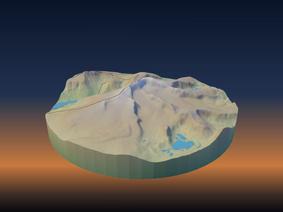
Glittertind
Norway

Gross Fiescherhorn
Switzerland

Jongsong Peak
People's Republic of China

Lomnický štít
Slovakia

Mount Jiuhua
People's Republic of China
Maps by country
- People's Republic of China 26
- Switzerland 24
- Germany 18
- United States 17
- United Kingdom 14
- Greece 13
- Nepal 13
- Pakistan 13
- France 11
- Canada 9
- Japan 9
- Norway 9
- Russia 9
- Spain 9
- Italy 8
- Peru 8
- Argentina 7
- Austria 7
- Brazil 7
- India 7
- New Zealand 7
- Bolivia 6
- Chile 6
- Australia 5
- Mexico 5
- Bulgaria 4
- Kyrgyzstan 4
- Saudi Arabia 4
- Slovakia 4
- Colombia 3
- Costa Rica 3
- Czech Republic 3
- Iceland 3
- Indonesia 3
- Israel 3
- Malaysia 3
- Mongolia 3
- Montenegro 3
- North Macedonia 3
- Philippines 3
- Poland 3
- South Africa 3
- Turkey 3
- Vanuatu 3
- Venezuela 3
- Albania 2
- Bhutan 2
- Egypt 2
- El Salvador 2
- Eritrea 2
- Ethiopia 2
- Georgia 2
- Ireland 2
- Jordan 2
- Kosovo 2
- Mali 2
- Mauritius 2
- Morocco 2
- Myanmar 2
- Oman 2
- Palestine 2
- Portugal 2
- Serbia 2
- Slovenia 2
- Sri Lanka 2
- Sudan 2
- Tajikistan 2
- Togo 2
- Ukraine 2
- Uzbekistan 2
- Afghanistan 1
- Algeria 1
- Andorra 1
- Angola 1
- Antigua and Barbuda 1
- Armenia 1
- Azerbaijan 1
- Bangladesh 1
- Belarus 1
- Belgium 1
- Bosnia and Herzegovina 1
- Botswana 1
- Cambodia 1
- Cameroon 1
- Cuba 1
- Cyprus 1
- Dominican Republic 1
- Equatorial Guinea 1
- Estonia 1
- Faroe Islands 1
- Gabon 1
- Ghana 1
- Greenland 1
- Guinea 1
- Haiti 1
- Honduras 1
- Hungary 1
- Iran 1
- Iraq 1
- Jamaica 1
- Kenya 1
- Laos 1
- Latvia 1
- Lebanon 1
- Libya 1
- Lithuania 1
- Madagascar 1
- Malawi 1
- Malta 1
- Mauritania 1
- Moldova 1
- Mozambique 1
- Namibia 1
- Netherlands 1
- Nicaragua 1
- Niger 1
- Nigeria 1
- North Korea 1
- Paraguay 1
- Republic of the Congo 1
- Romania 1
- Saint Kitts and Nevis 1
- Samoa 1
- Sierra Leone 1
- Somalia 1
- South Korea 1
- South Sudan 1
- Sweden 1
- Syria 1
- São Tomé and Príncipe 1
- Taiwan 1
- Tanzania 1
- Thailand 1
- Tunisia 1
- Vietnam 1
- Yemen 1
- Zimbabwe 1
More kinds of places
Can't find your place?
TerraPrinter works anywhere on Earth: draw an area around your hometown, favourite hike or holiday island and download it in seconds.
Make your own