3D printable maps: Mountains
473 places, each a free STL or 3MF model made from real elevation data. Pick one to download it, or to change the area, size and colours first. Best-known places come first.
No place by that name yet. You can still make a map of it: open TerraPrinter and search for it there. Make your own
People's Republic of China 26
Switzerland 24
Germany 18
United States 17
United Kingdom 14
Greece 13
Nepal 13
Pakistan 13
France 11
Canada 9
Japan 9
Norway 9
Russia 9
Spain 9
Italy 8
Peru 8
More countries 121
Showing 421–473 of 473
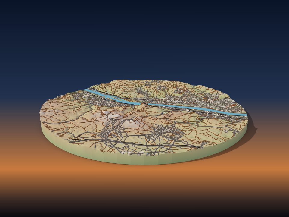
Drachenfels
Germany

Hohentwiel
Germany

Hotaka Mountains
Japan

Kjerag
Norway
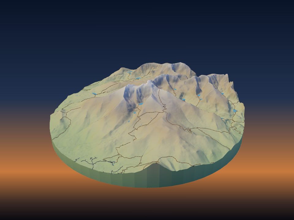
Longs Peak
United States

Monserrate
Colombia

Mount Paget
Argentina

Mowdok tiang
Bangladesh

Peña de Bernal
Mexico

Piton de la Petite Rivière Noire
Mauritius
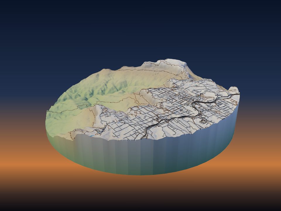
Three Sisters
Australia

Aýrybaba
Uzbekistan

Doyle's Delight
Belize
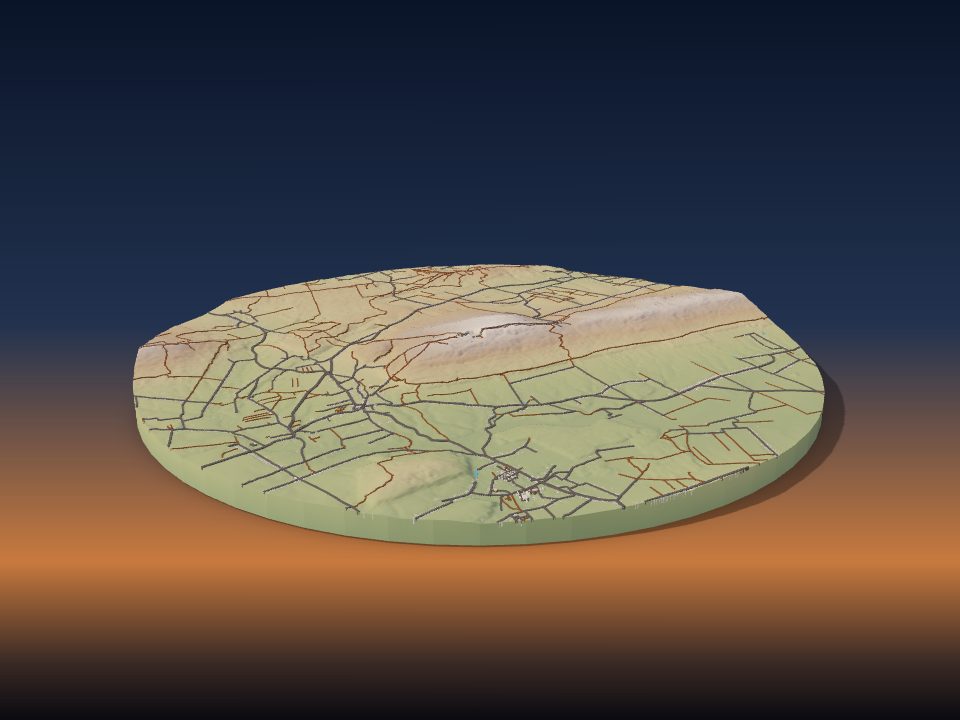
Łysa Góra
Poland
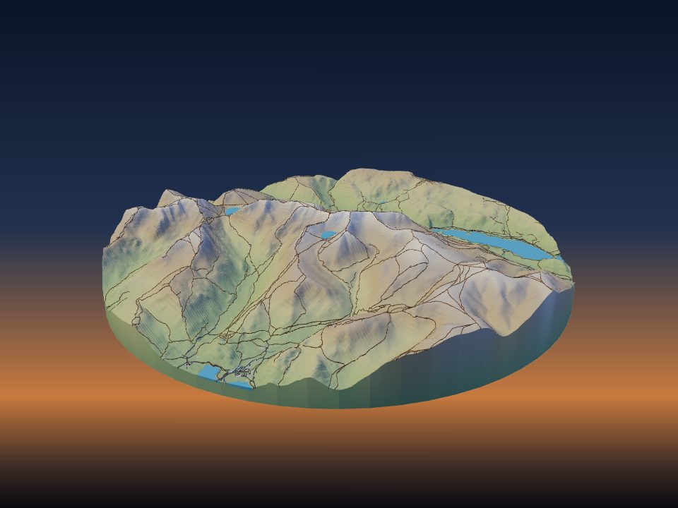
Helvellyn
United Kingdom

Jebel Jais
Oman

Königstuhl
Germany

Mont Nabemba
Republic of the Congo
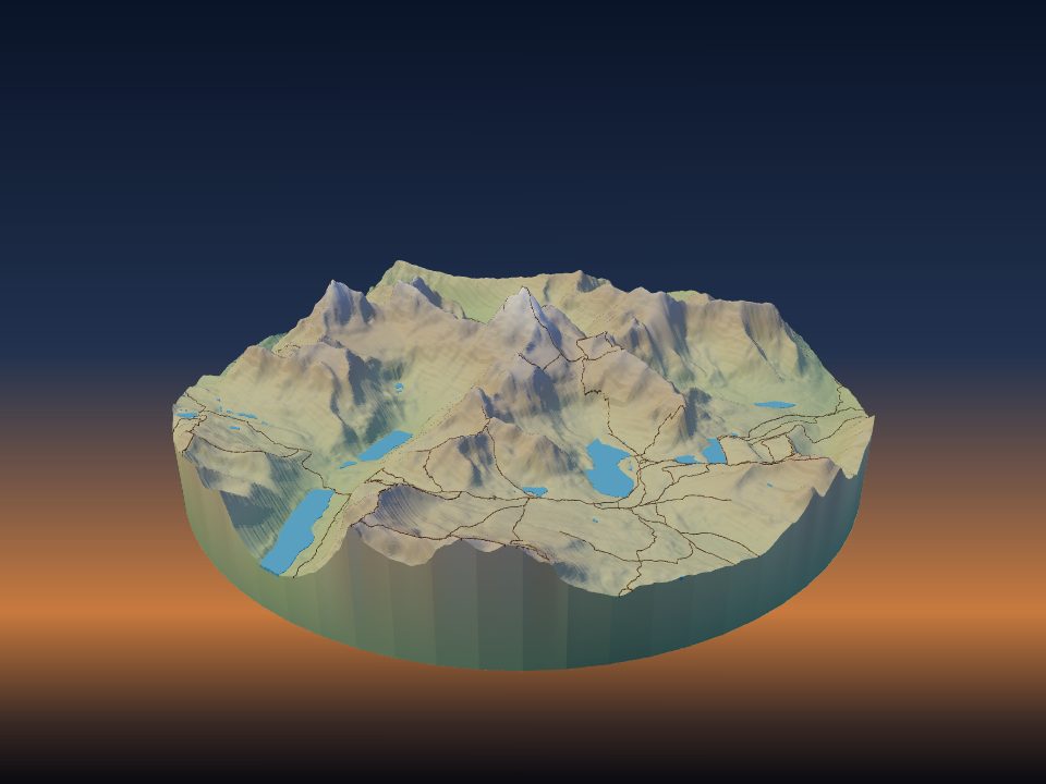
Mount Assiniboine
Canada

Pedra da Gávea
Brazil
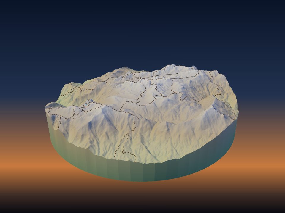
Pico das Agulhas Negras
Brazil

Schauinsland
Germany
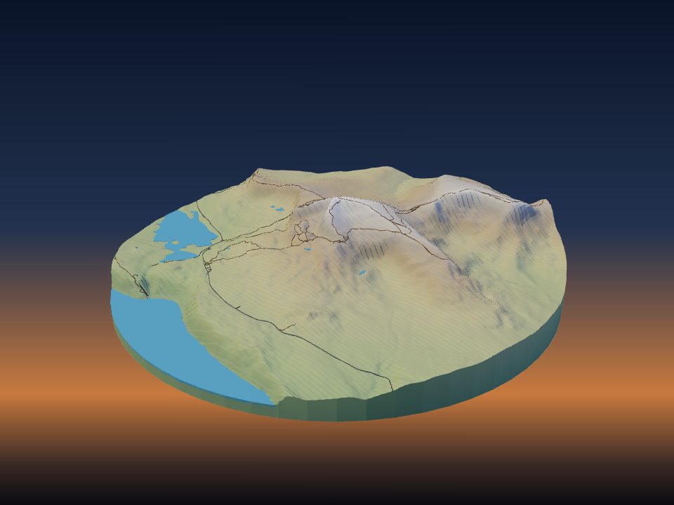
The Storr
United Kingdom

Wasserkuppe
Germany
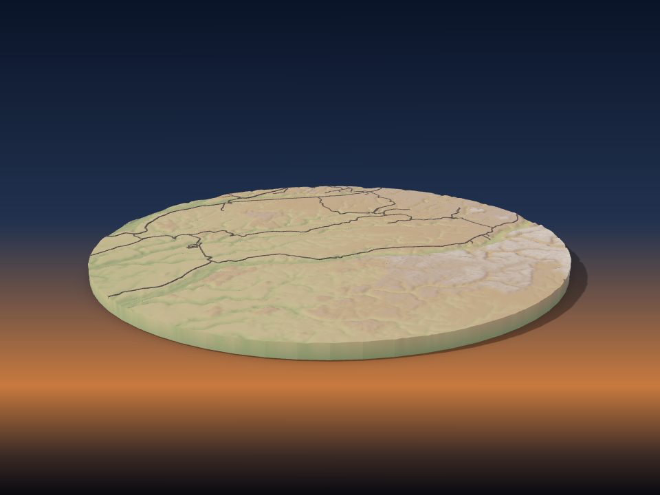
Monte Pascoal
Brazil

Morne Seychellois
Seychelles
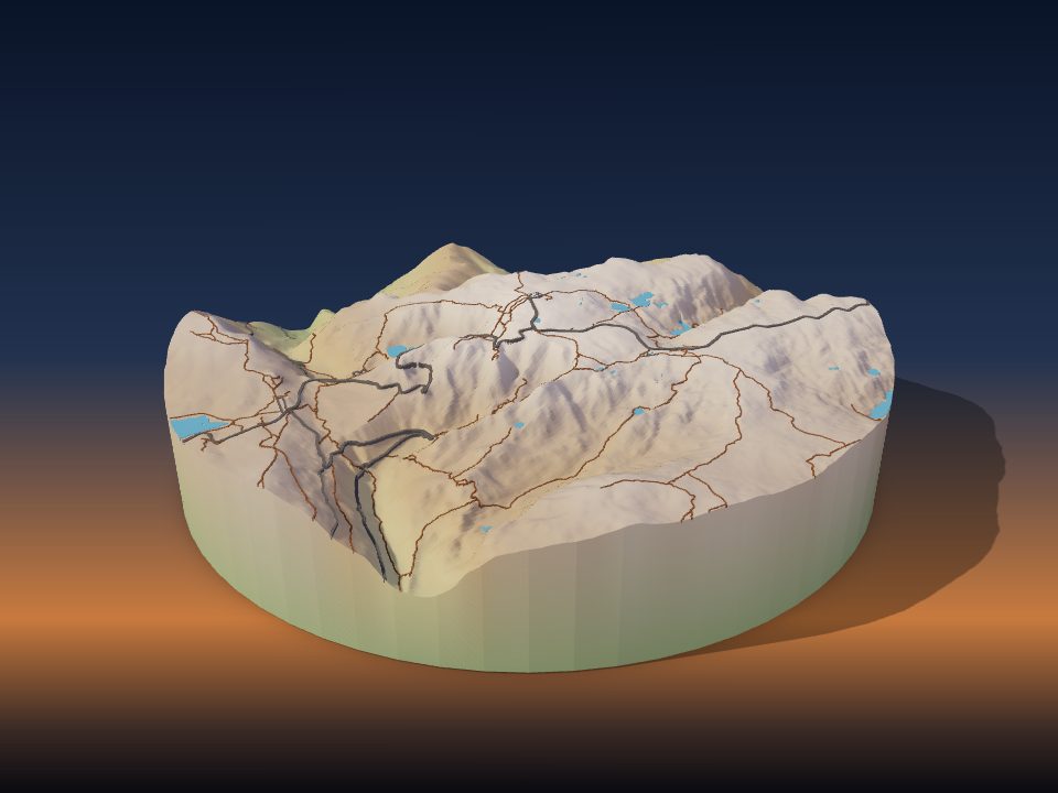
Torre
Portugal

Velika Rudoka
Kosovo

Ceboruco
Mexico

El Jorullo
Mexico
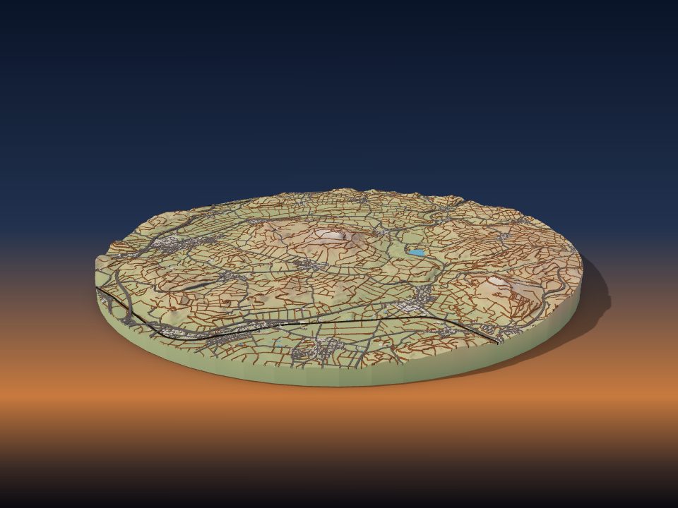
Hegau
Germany

Maungakiekie / One Tree Hill
New Zealand
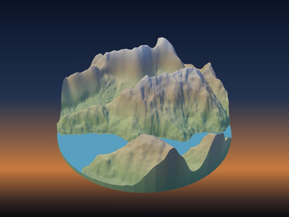
Mitre Peak
New Zealand
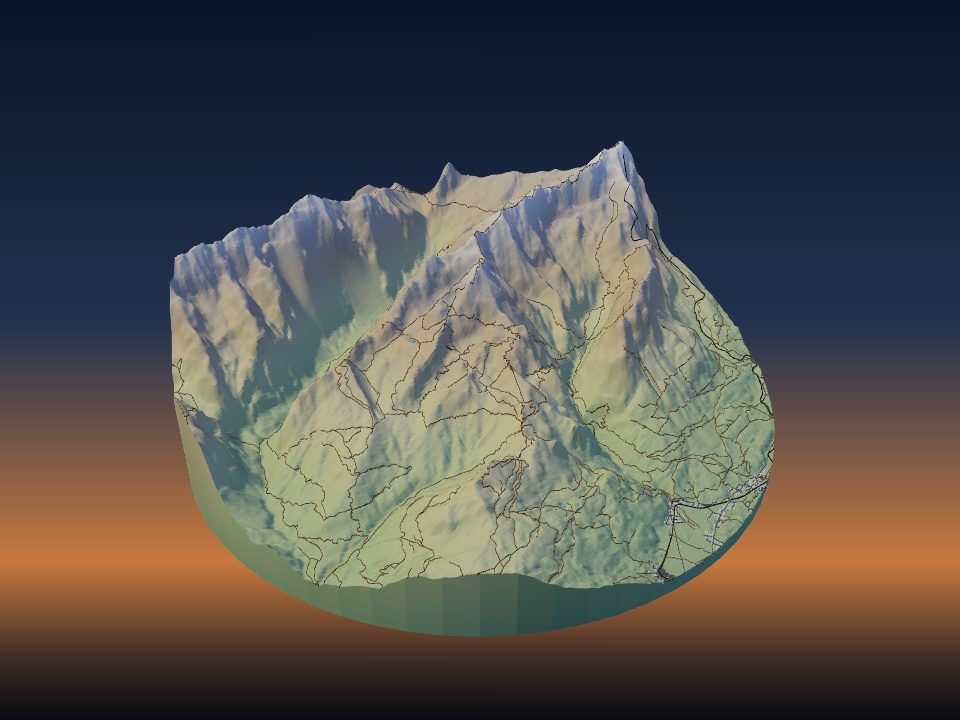
Alpspitze
Germany
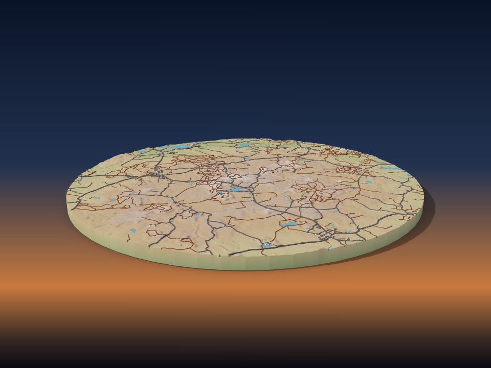
Bungsberg
Germany

Deriba Caldera
Sudan

El Cerro del Aripo
Trinidad and Tobago
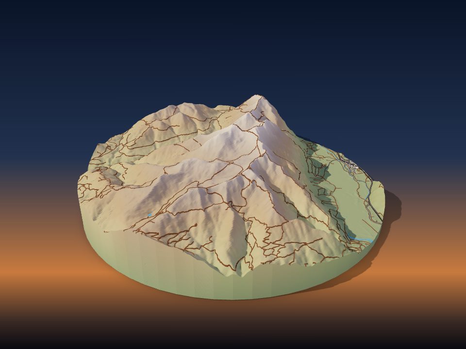
Krottenkopf
Germany

Tepeyac Hill
Mexico
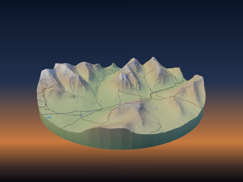
Buachaille Etive Mòr
United Kingdom

Cecil Peak
New Zealand
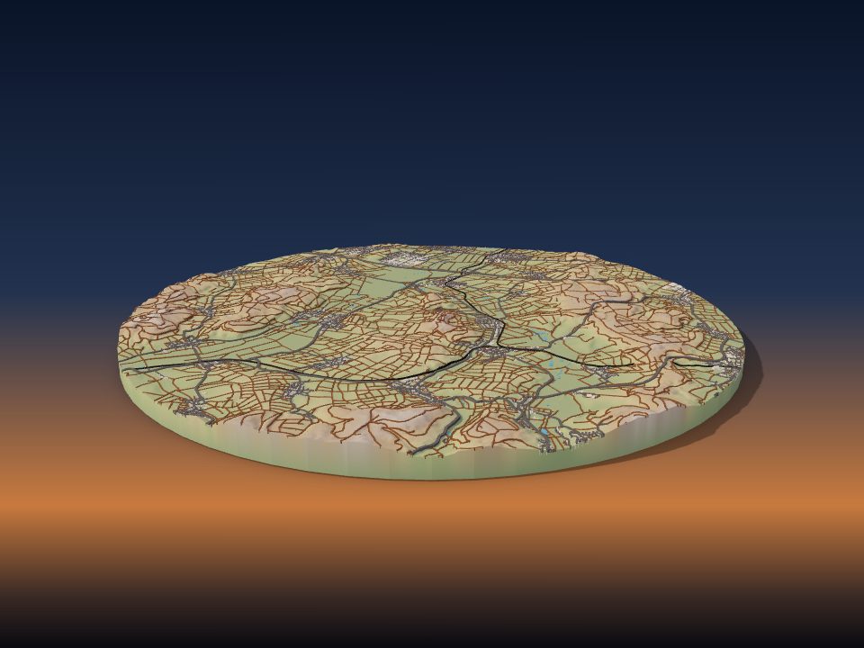
Glauberg
Germany
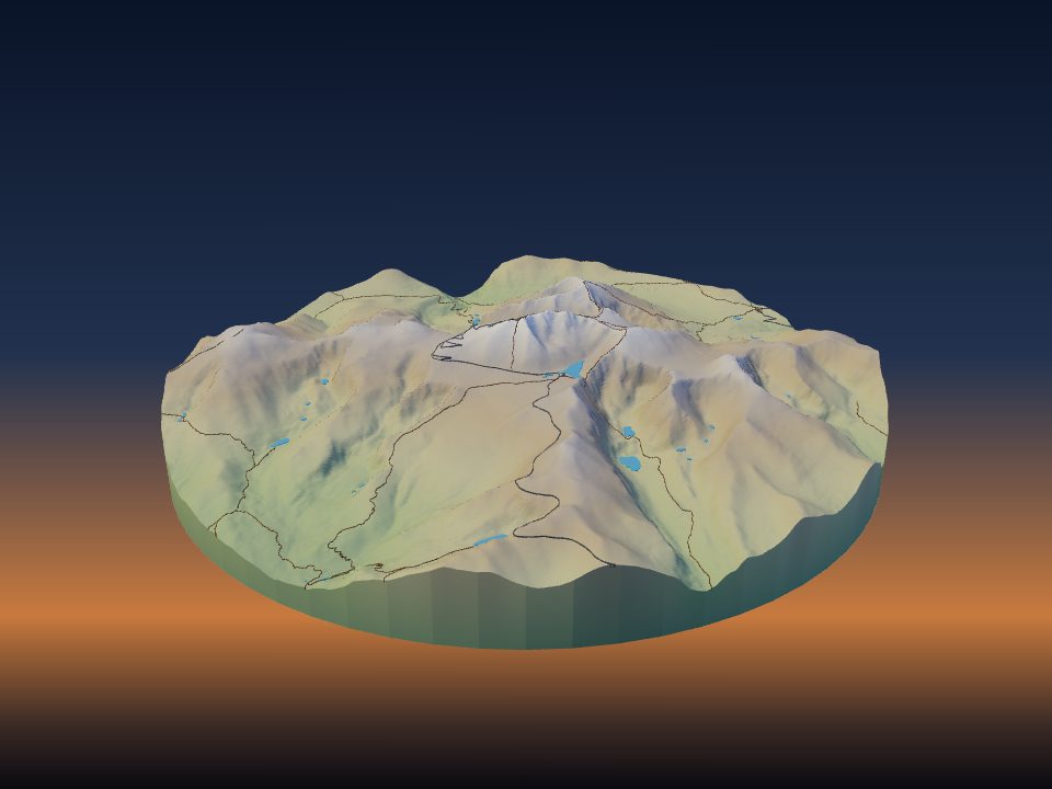
Mount Blue Sky
United States

Mount Nabi Yunis
Palestine
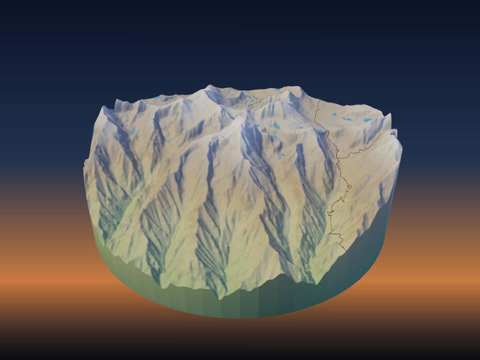
Mount Williamson
United States
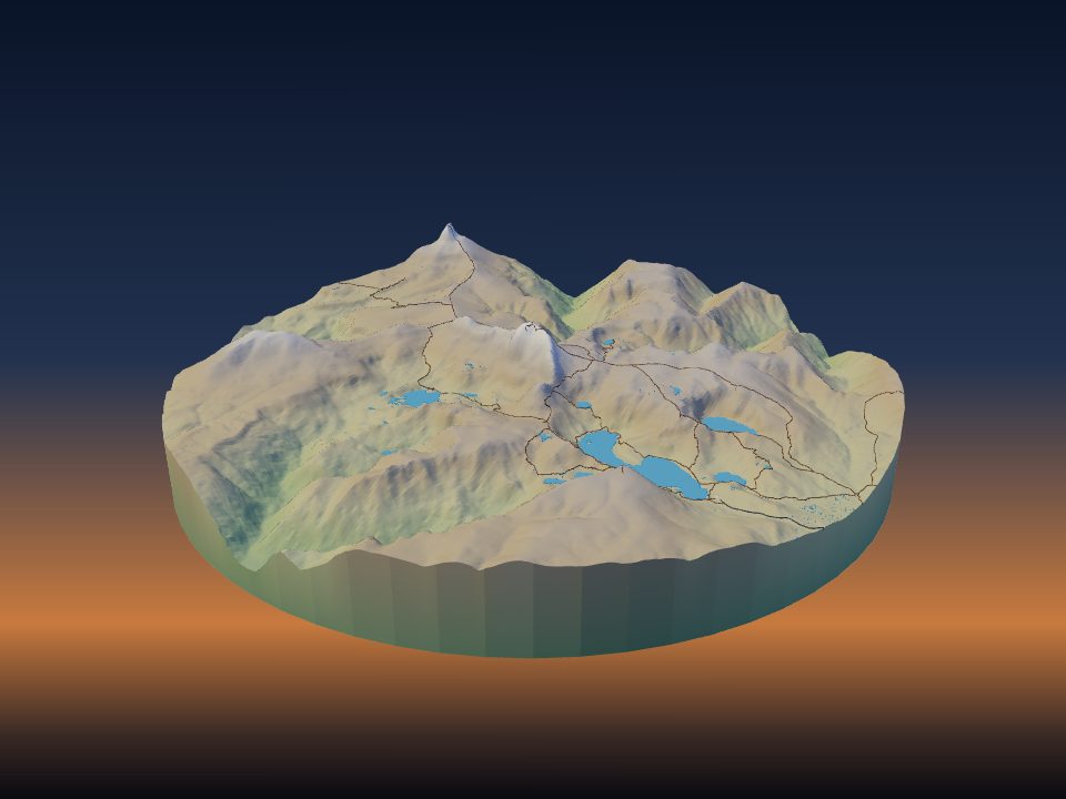
Cradle Mountain
Australia

Otse Hill
Botswana

Dolohmwar
Federated States of Micronesia
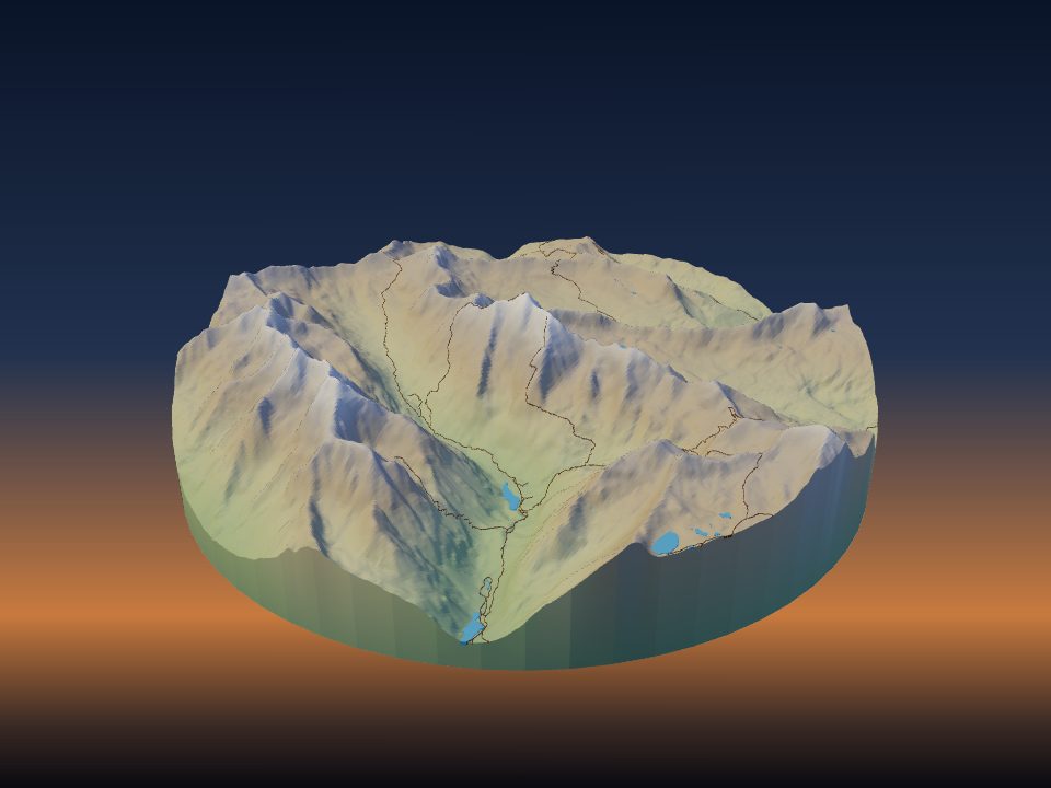
Maroon Bells
United States
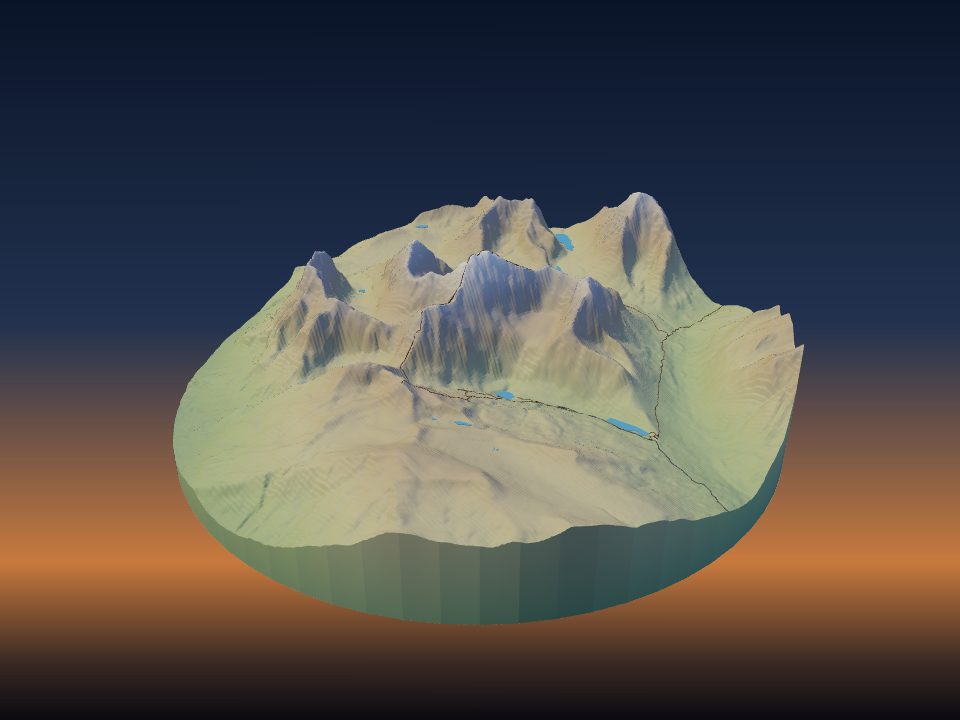
Mount Edith Cavell
Canada

Mafinga Central
Malawi
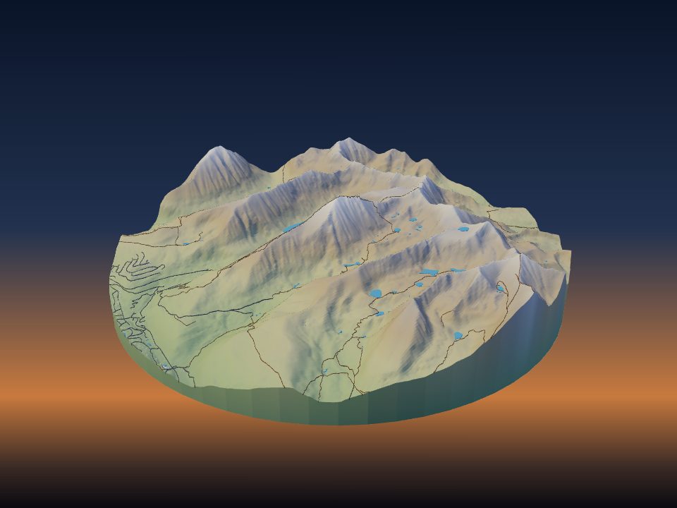
Quandary Peak
United States
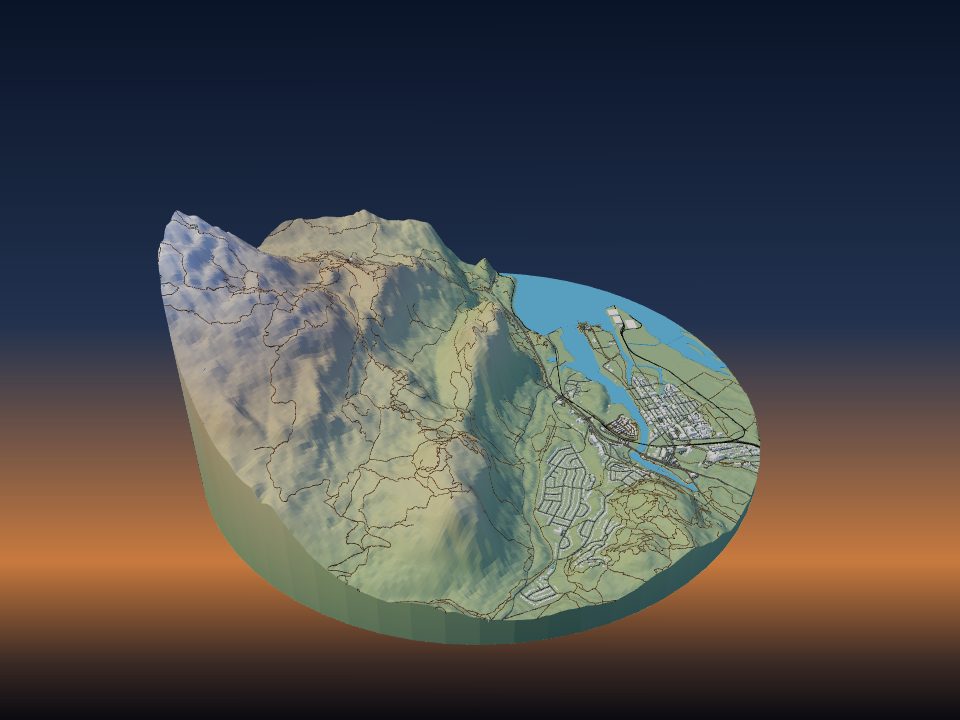
Stawamus Chief Mountain
Canada
Maps by country
- People's Republic of China 26
- Switzerland 24
- Germany 18
- United States 17
- United Kingdom 14
- Greece 13
- Nepal 13
- Pakistan 13
- France 11
- Canada 9
- Japan 9
- Norway 9
- Russia 9
- Spain 9
- Italy 8
- Peru 8
- Argentina 7
- Austria 7
- Brazil 7
- India 7
- New Zealand 7
- Bolivia 6
- Chile 6
- Australia 5
- Mexico 5
- Bulgaria 4
- Kyrgyzstan 4
- Saudi Arabia 4
- Slovakia 4
- Colombia 3
- Costa Rica 3
- Czech Republic 3
- Iceland 3
- Indonesia 3
- Israel 3
- Malaysia 3
- Mongolia 3
- Montenegro 3
- North Macedonia 3
- Philippines 3
- Poland 3
- South Africa 3
- Turkey 3
- Vanuatu 3
- Venezuela 3
- Albania 2
- Bhutan 2
- Egypt 2
- El Salvador 2
- Eritrea 2
- Ethiopia 2
- Georgia 2
- Ireland 2
- Jordan 2
- Kosovo 2
- Mali 2
- Mauritius 2
- Morocco 2
- Myanmar 2
- Oman 2
- Palestine 2
- Portugal 2
- Serbia 2
- Slovenia 2
- Sri Lanka 2
- Sudan 2
- Tajikistan 2
- Togo 2
- Ukraine 2
- Uzbekistan 2
- Afghanistan 1
- Algeria 1
- Andorra 1
- Angola 1
- Antigua and Barbuda 1
- Armenia 1
- Azerbaijan 1
- Bangladesh 1
- Belarus 1
- Belgium 1
- Bosnia and Herzegovina 1
- Botswana 1
- Cambodia 1
- Cameroon 1
- Cuba 1
- Cyprus 1
- Dominican Republic 1
- Equatorial Guinea 1
- Estonia 1
- Faroe Islands 1
- Gabon 1
- Ghana 1
- Greenland 1
- Guinea 1
- Haiti 1
- Honduras 1
- Hungary 1
- Iran 1
- Iraq 1
- Jamaica 1
- Kenya 1
- Laos 1
- Latvia 1
- Lebanon 1
- Libya 1
- Lithuania 1
- Madagascar 1
- Malawi 1
- Malta 1
- Mauritania 1
- Moldova 1
- Mozambique 1
- Namibia 1
- Netherlands 1
- Nicaragua 1
- Niger 1
- Nigeria 1
- North Korea 1
- Paraguay 1
- Republic of the Congo 1
- Romania 1
- Saint Kitts and Nevis 1
- Samoa 1
- Sierra Leone 1
- Somalia 1
- South Korea 1
- South Sudan 1
- Sweden 1
- Syria 1
- São Tomé and Príncipe 1
- Taiwan 1
- Tanzania 1
- Thailand 1
- Tunisia 1
- Vietnam 1
- Yemen 1
- Zimbabwe 1
More kinds of places
Can't find your place?
TerraPrinter works anywhere on Earth: draw an area around your hometown, favourite hike or holiday island and download it in seconds.
Make your own