3D printable maps: Volcanoes
201 places, each a free STL or 3MF model made from real elevation data. Pick one to download it, or to change the area, size and colours first. Best-known places come first.
No place by that name yet. You can still make a map of it: open TerraPrinter and search for it there. Make your own
United States 18
Indonesia 17
Ecuador 14
Chile 11
Iceland 11
France 9
Japan 9
Russia 9
Mexico 7
Argentina 6
Italy 6
New Zealand 6
Spain 6
Germany 5
Guatemala 5
Philippines 5
More countries 29
Showing 181–201 of 201
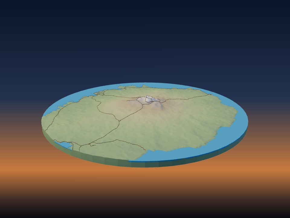
Rangitoto Island
New Zealand
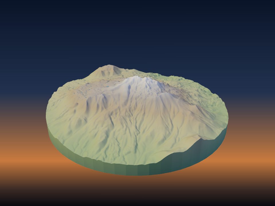
Cerro El Cóndor
Argentina
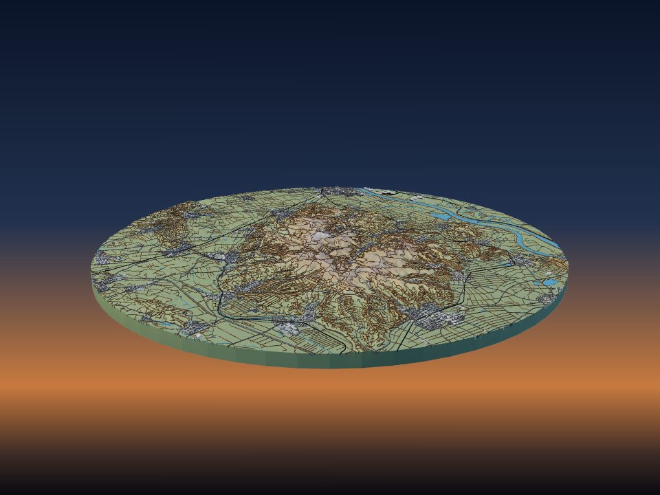
Kaiserstuhl
Germany
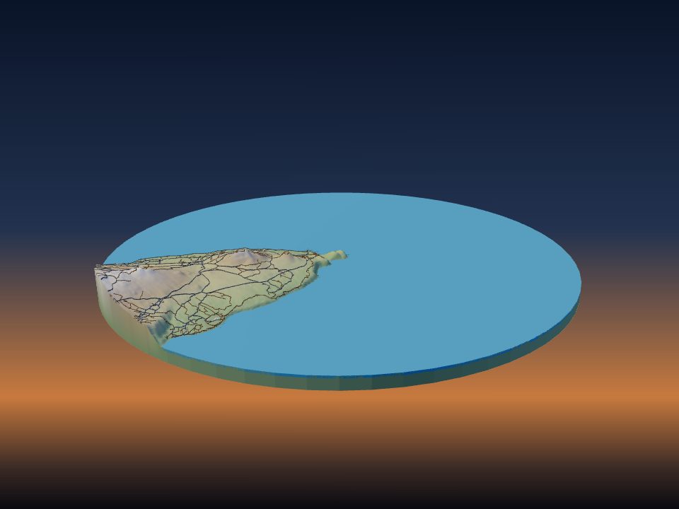
Capelinhos
Portugal
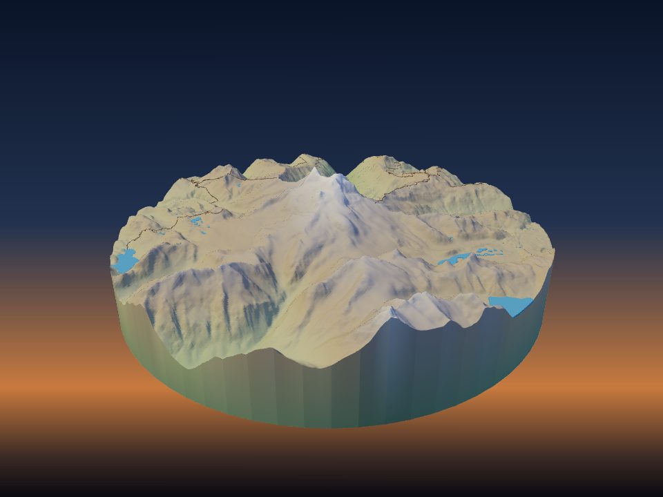
Mount Garibaldi
Canada
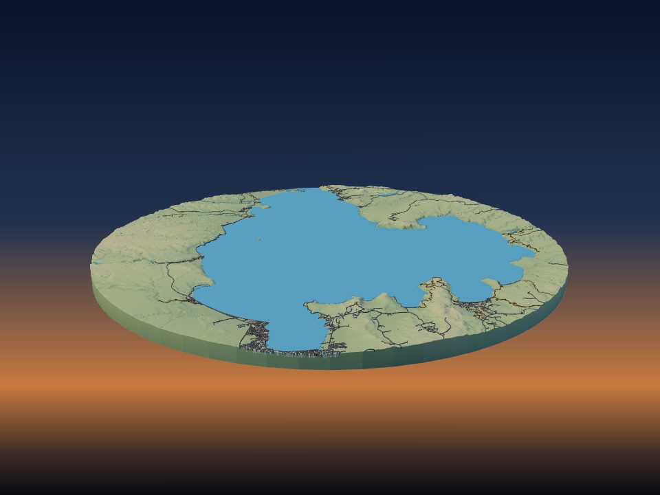
Taupō Volcano
New Zealand
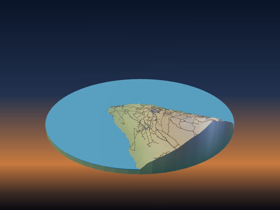
Teneguía
Spain
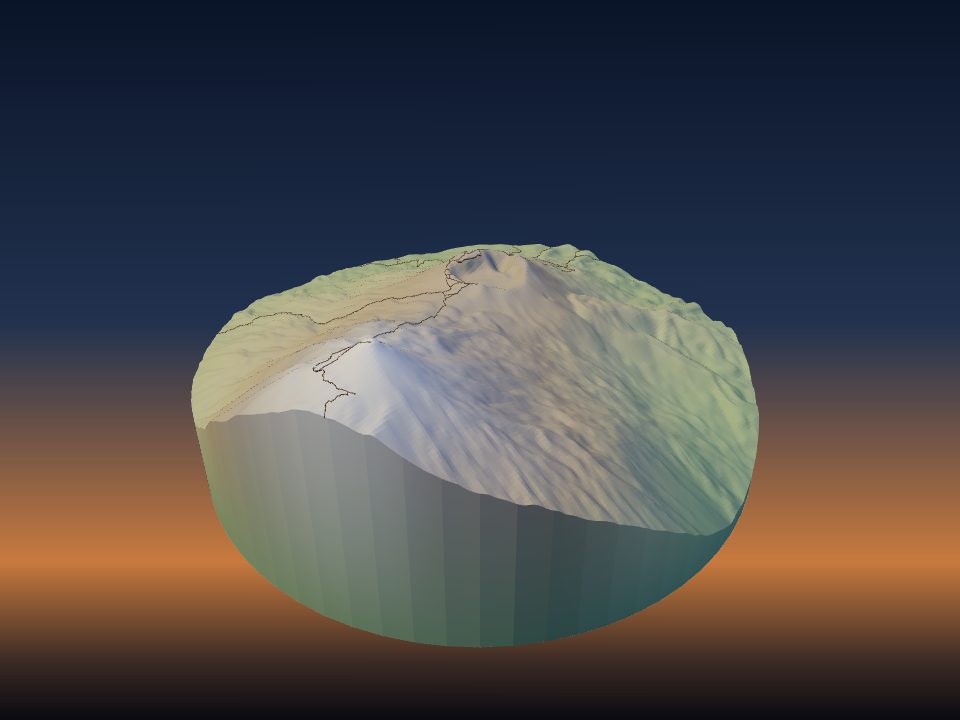
Pico viejo
Spain
Empedocles
Italy
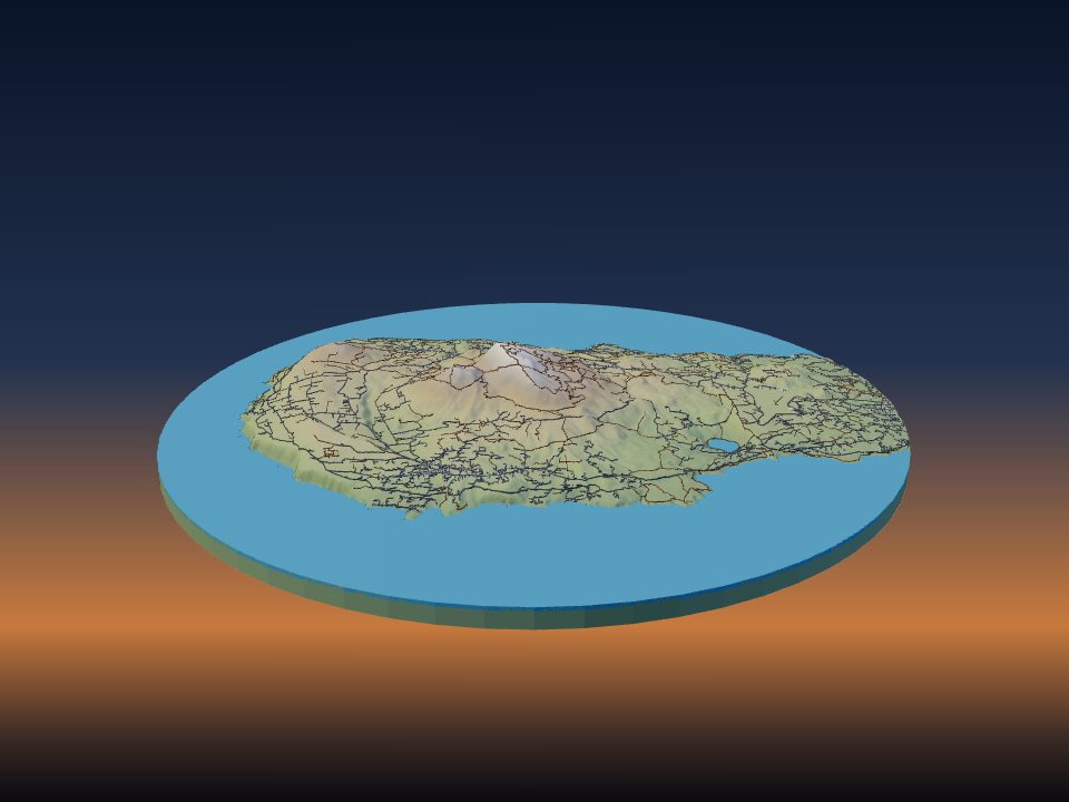
Pantelleria Island
Italy
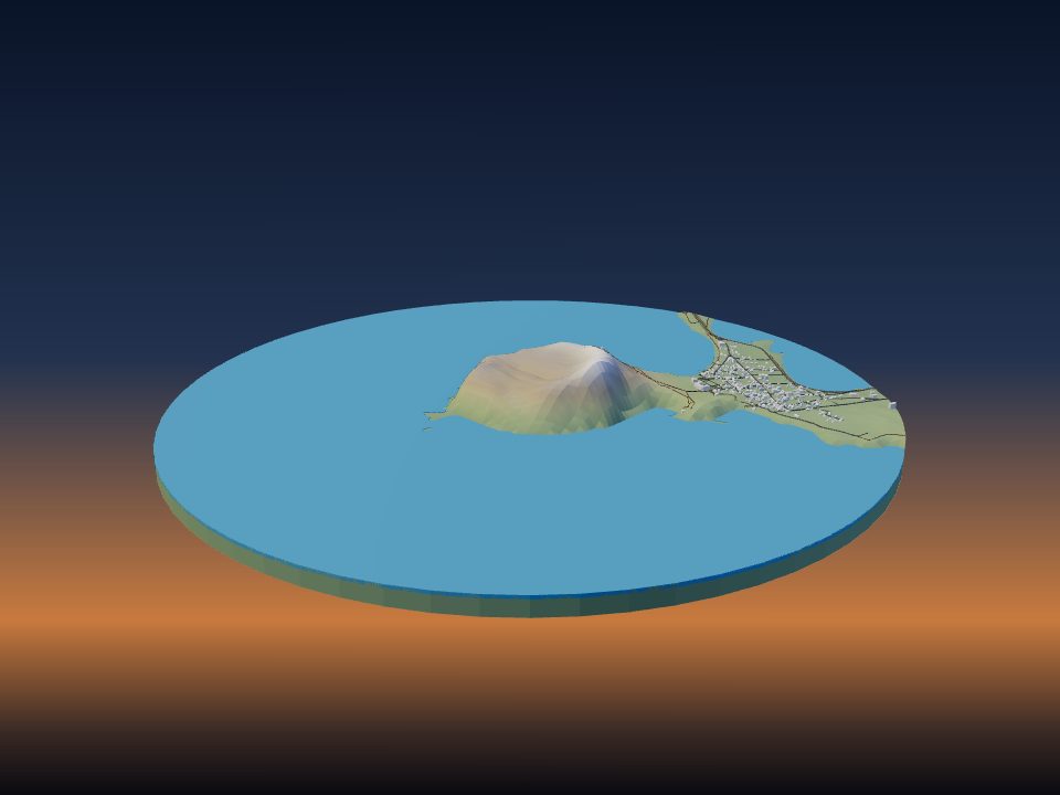
Seongsan Ilchulbong
South Korea
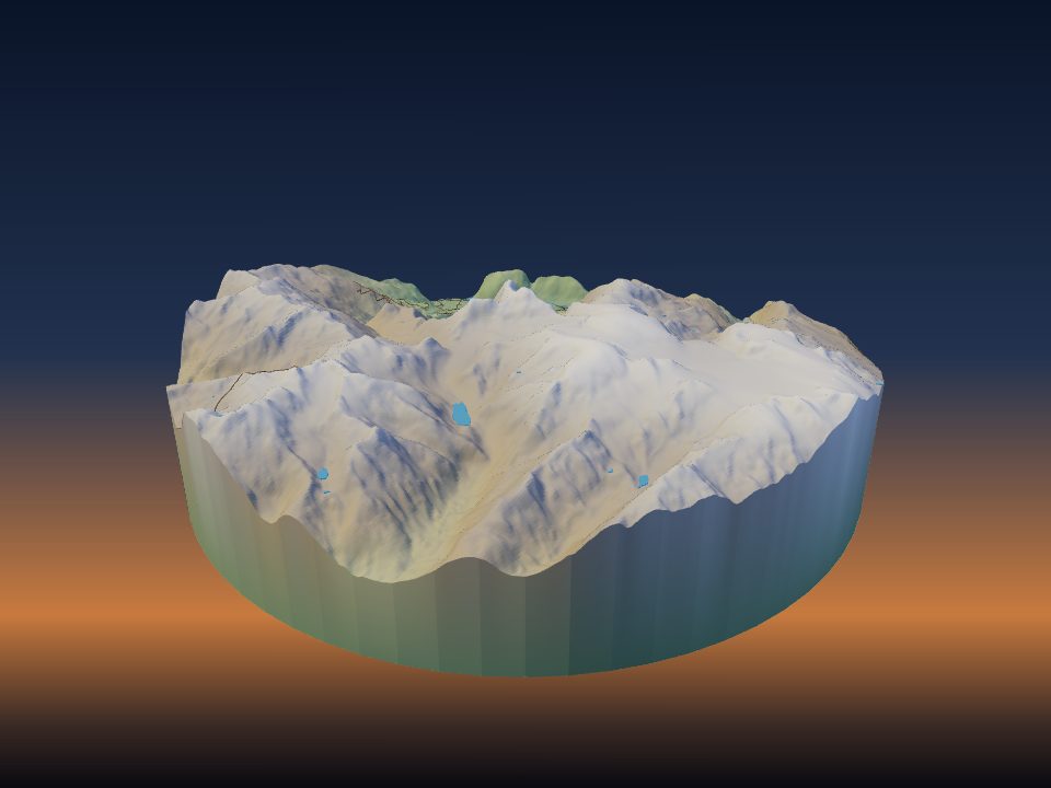
Mount Cayley
Canada
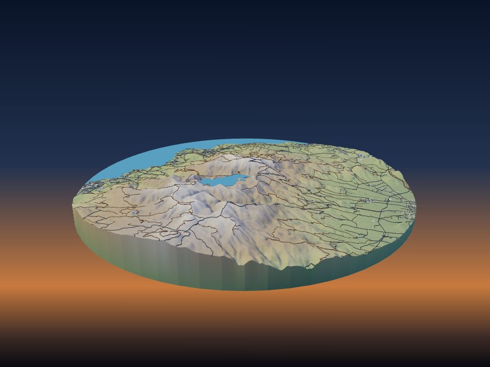
Água de Pau
Portugal
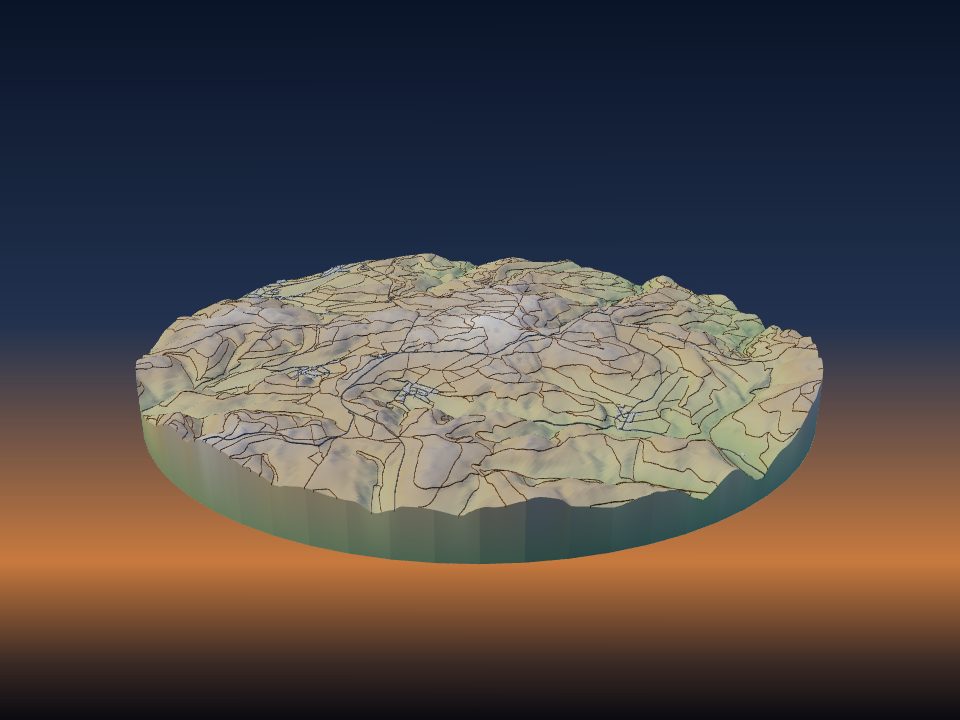
Hohe Acht
Germany
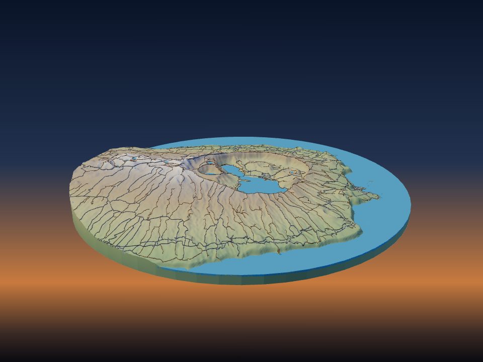
Sete Cidades Massif
Portugal
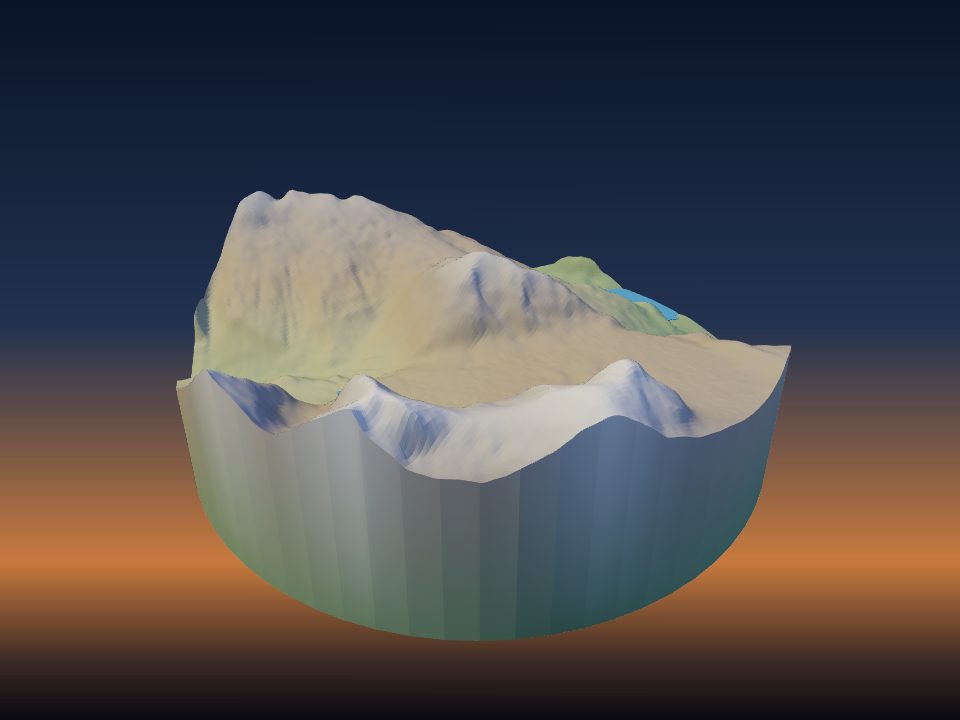
The Volcano
Canada
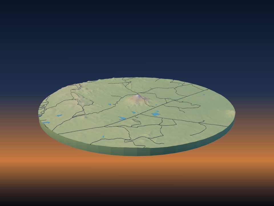
Pico do Cabugi
Brazil
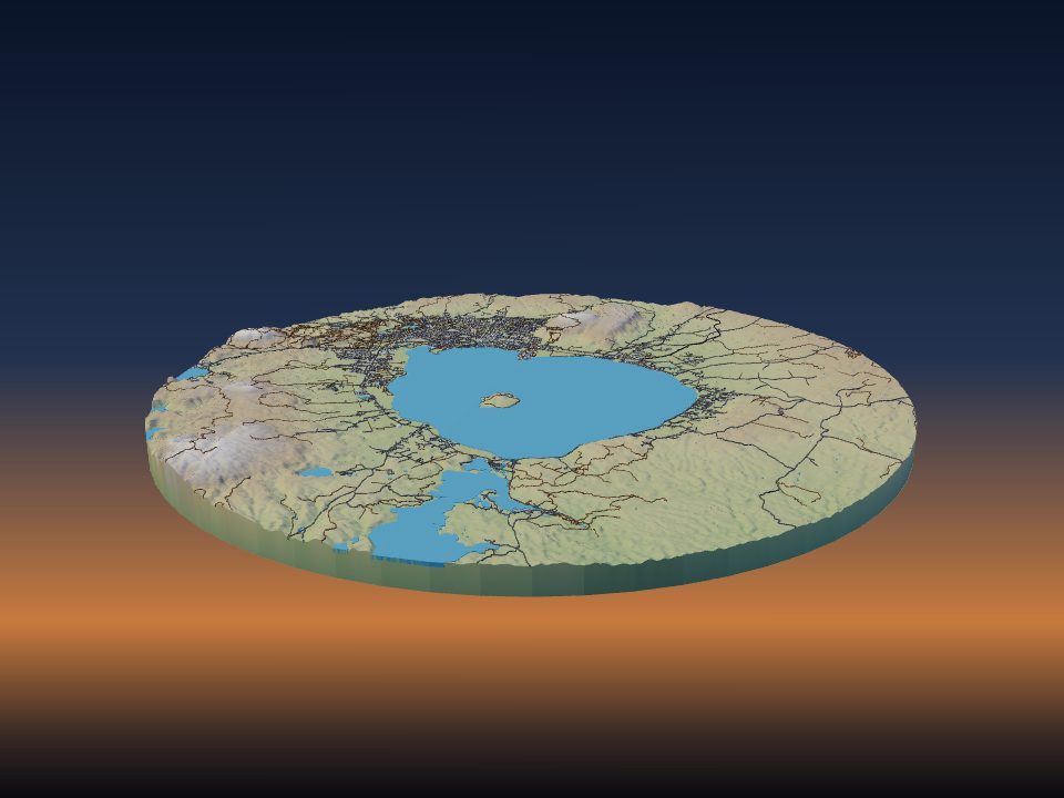
Rotorua Caldera
New Zealand
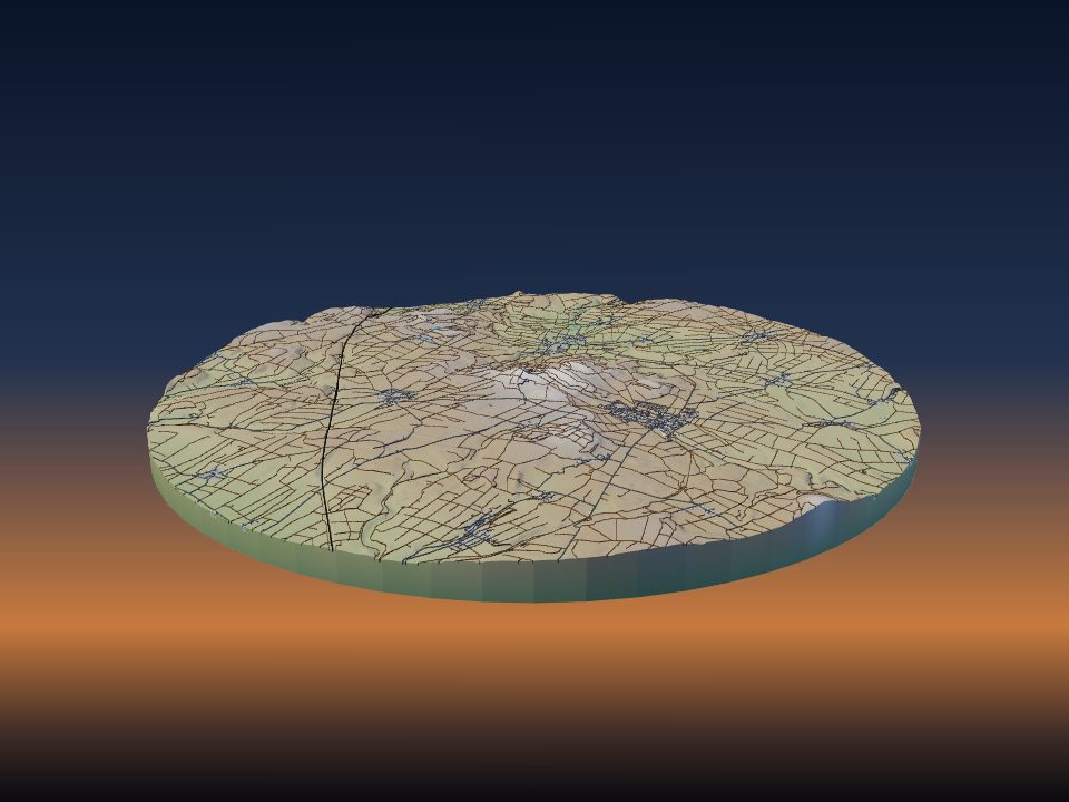
Hoher Hagen
Germany
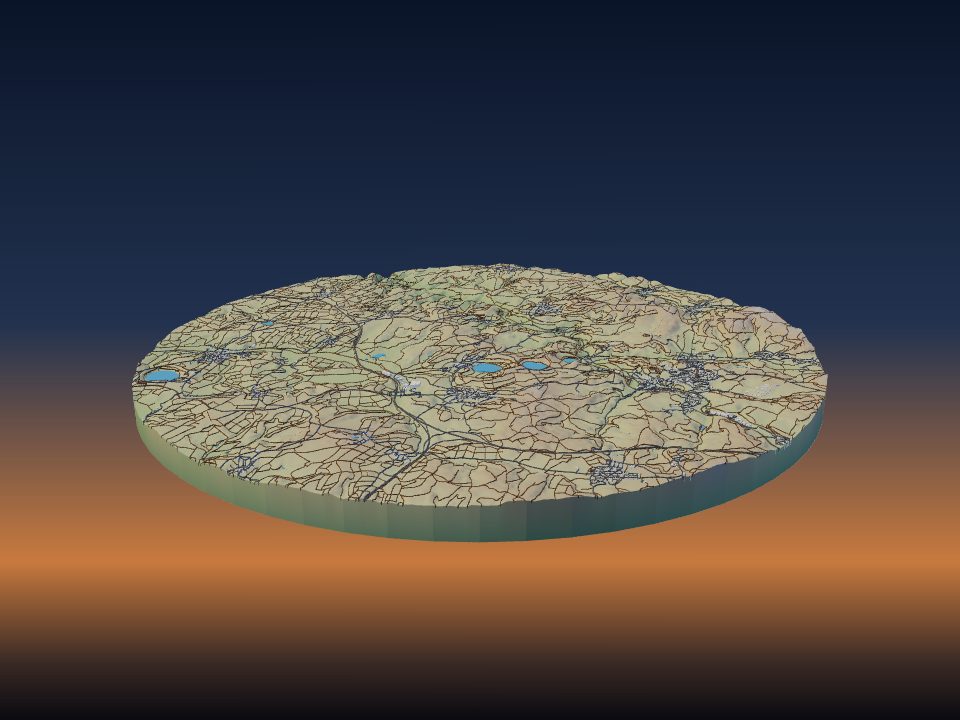
Hoher List
Germany
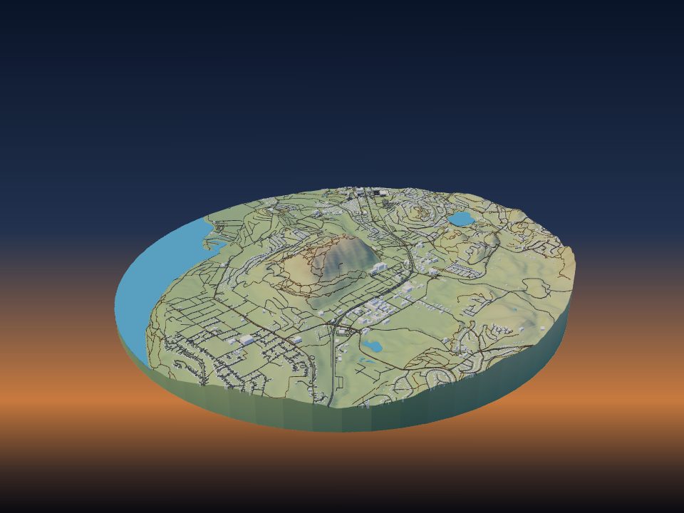
Mount Boucherie
Canada
Maps by country
- United States 18
- Indonesia 17
- Ecuador 14
- Chile 11
- Iceland 11
- France 9
- Japan 9
- Russia 9
- Mexico 7
- Argentina 6
- Italy 6
- New Zealand 6
- Spain 6
- Germany 5
- Guatemala 5
- Philippines 5
- Canada 4
- Peru 4
- Portugal 4
- Turkey 4
- Bolivia 3
- United Kingdom 3
- Australia 2
- Colombia 2
- Costa Rica 2
- Democratic Republic of the Congo 2
- El Salvador 2
- Ethiopia 2
- Iran 2
- Nicaragua 2
- South Korea 2
- Tanzania 2
- Brazil 1
- Cameroon 1
- Cape Verde 1
- Chad 1
- Comoros 1
- Kenya 1
- North Korea 1
- Norway 1
- Panama 1
- Rwanda 1
- Uganda 1
- Vanuatu 1
- Yemen 1
More kinds of places
Can't find your place?
TerraPrinter works anywhere on Earth: draw an area around your hometown, favourite hike or holiday island and download it in seconds.
Make your own