3D printable maps: Valleys
86 places, each a free STL or 3MF model made from real elevation data. Pick one to download it, or to change the area, size and colours first. Best-known places come first.
No place by that name yet. You can still make a map of it: open TerraPrinter and search for it there. Make your own
Italy 10
United States 9
Austria 5
Switzerland 5
People's Republic of China 4
United Kingdom 4
France 3
Germany 3
Iceland 3
Nepal 3
Cuba 2
Japan 2
Jordan 2
Norway 2
Peru 2
Turkey 2
More countries 25
Showing 61–86 of 86
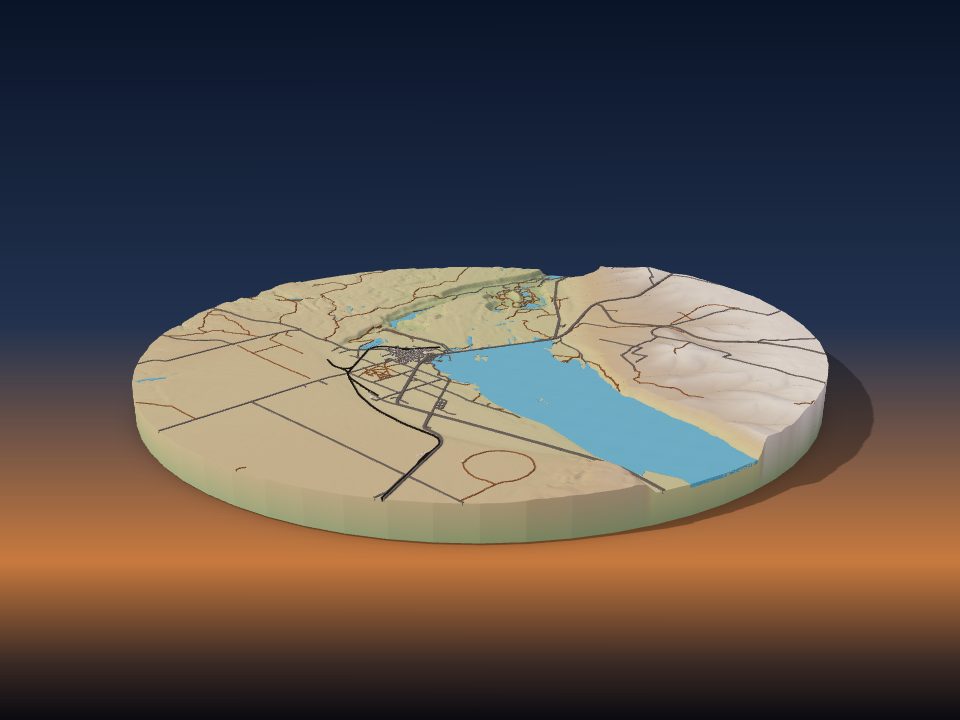
Grand Coulee
United States
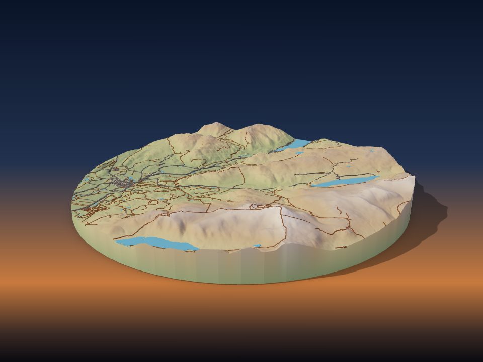
Central Lowlands
United Kingdom
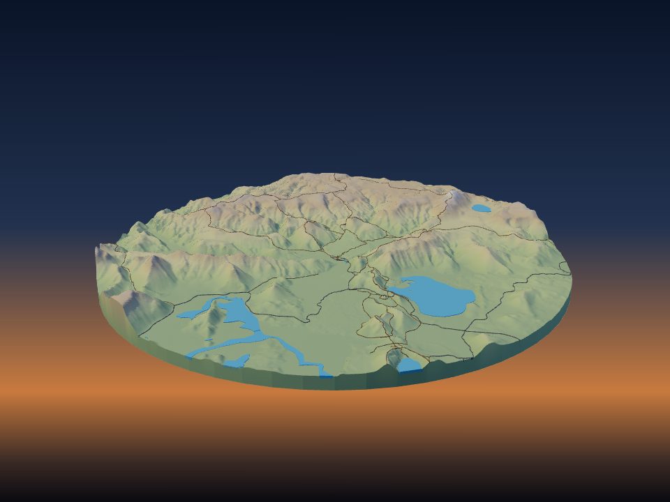
Landmannalaugar
Iceland
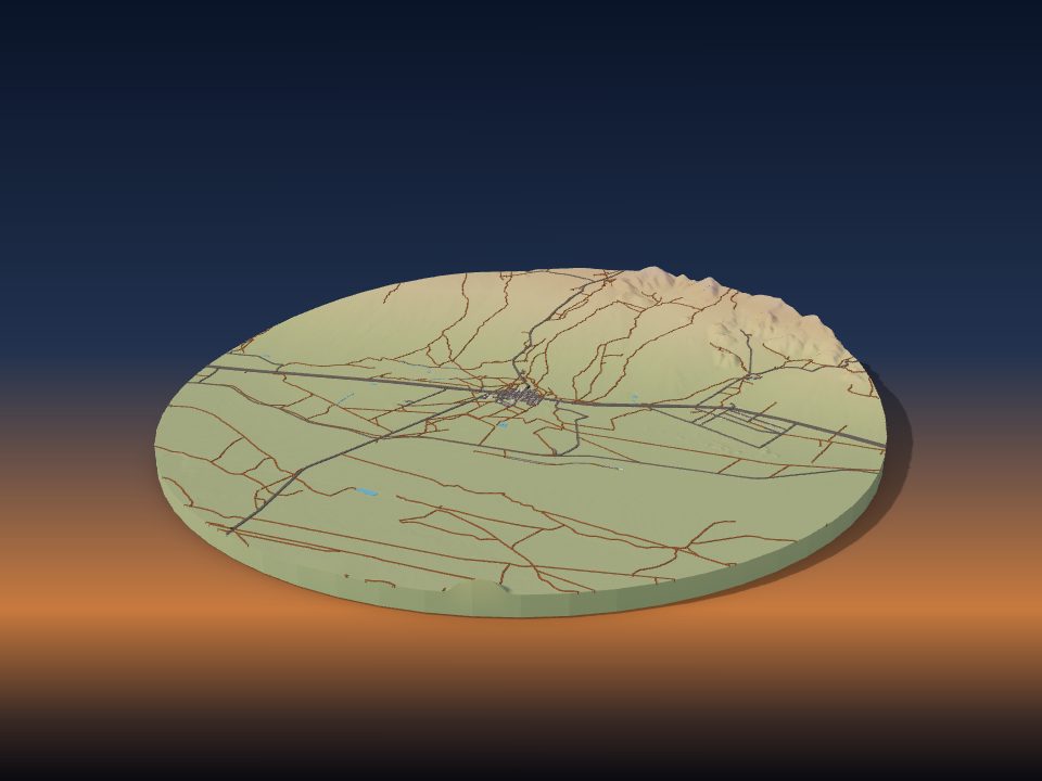
Owens Valley
United States
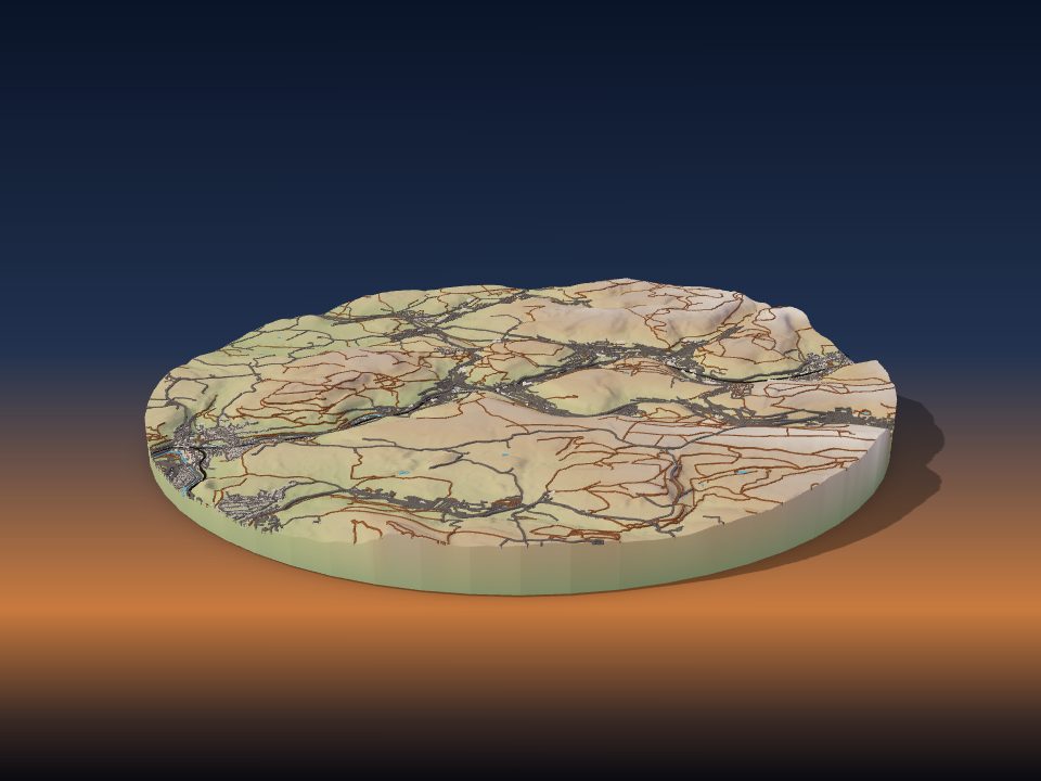
Rhondda
United Kingdom
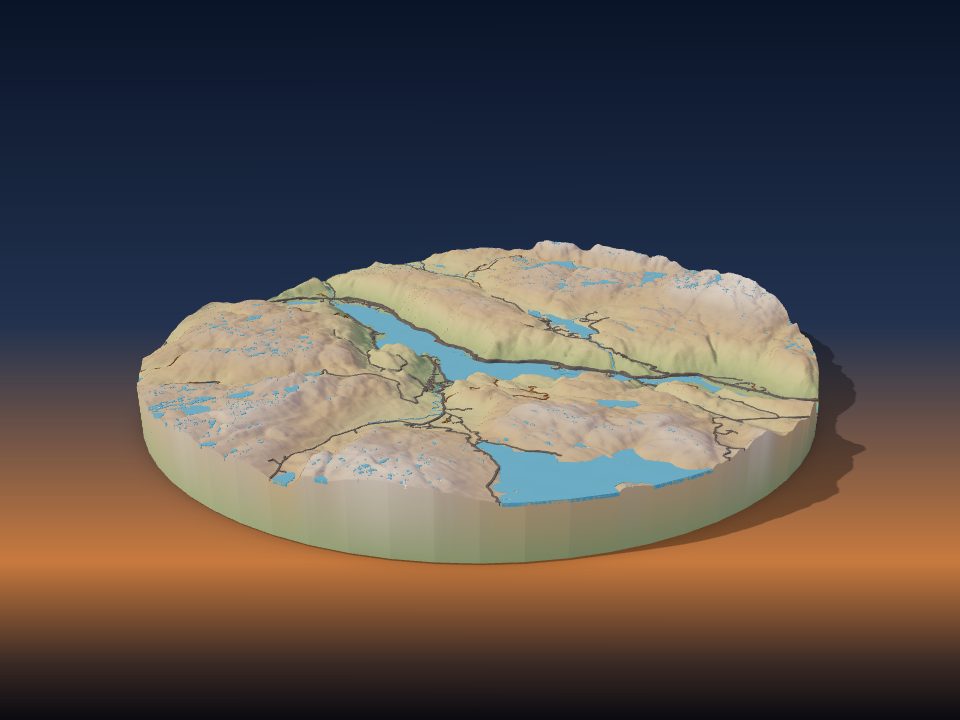
Setesdal
Norway
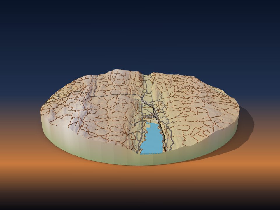
Vallée de Joux
Switzerland
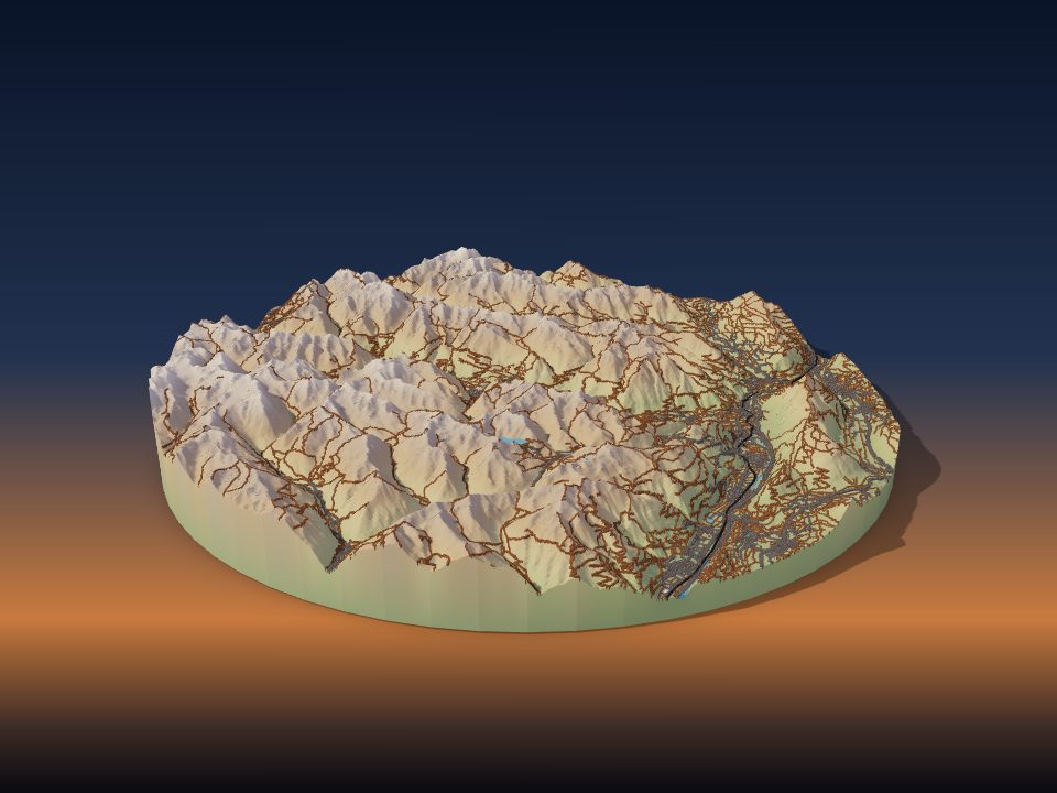
Ötztal
Austria

Amik Valley
Turkey

Chumbi Valley
People's Republic of China

Val Badia
Italy
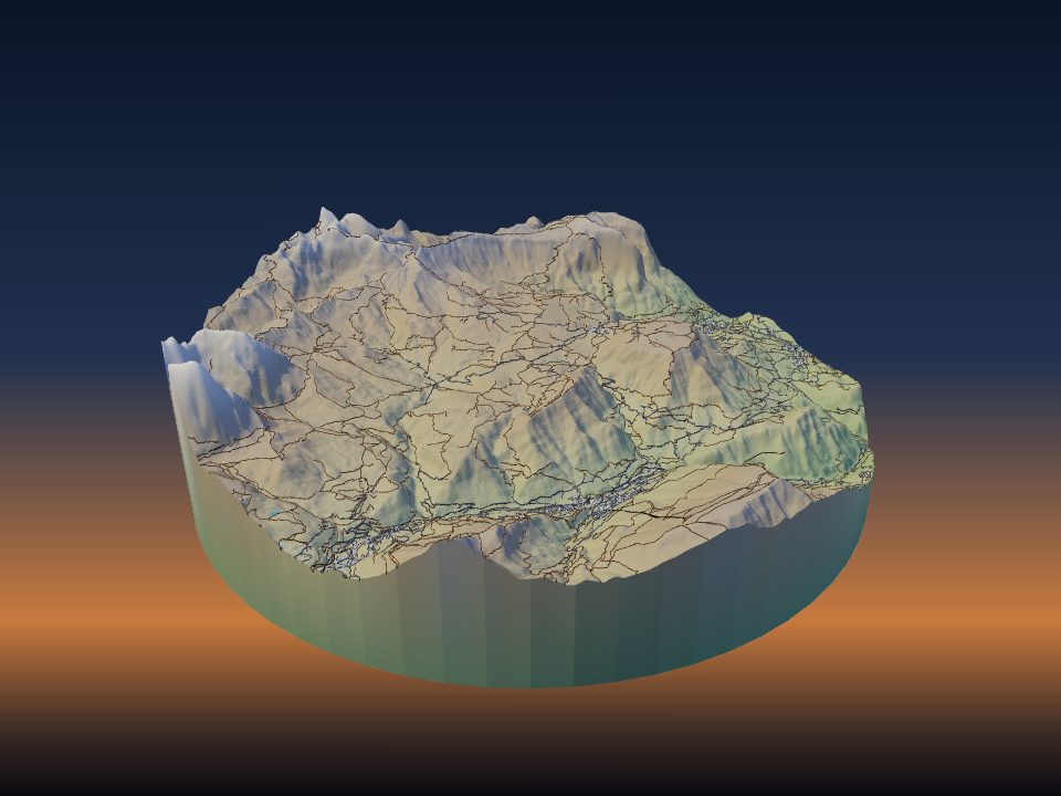
Seiser Alm
Italy
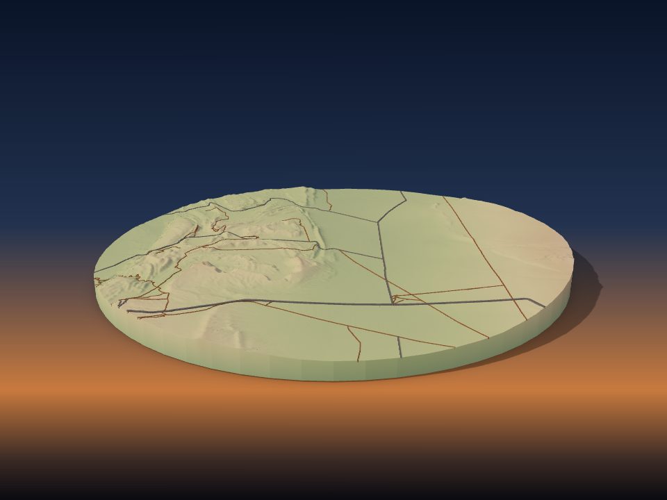
Valle de la Luna
Chile
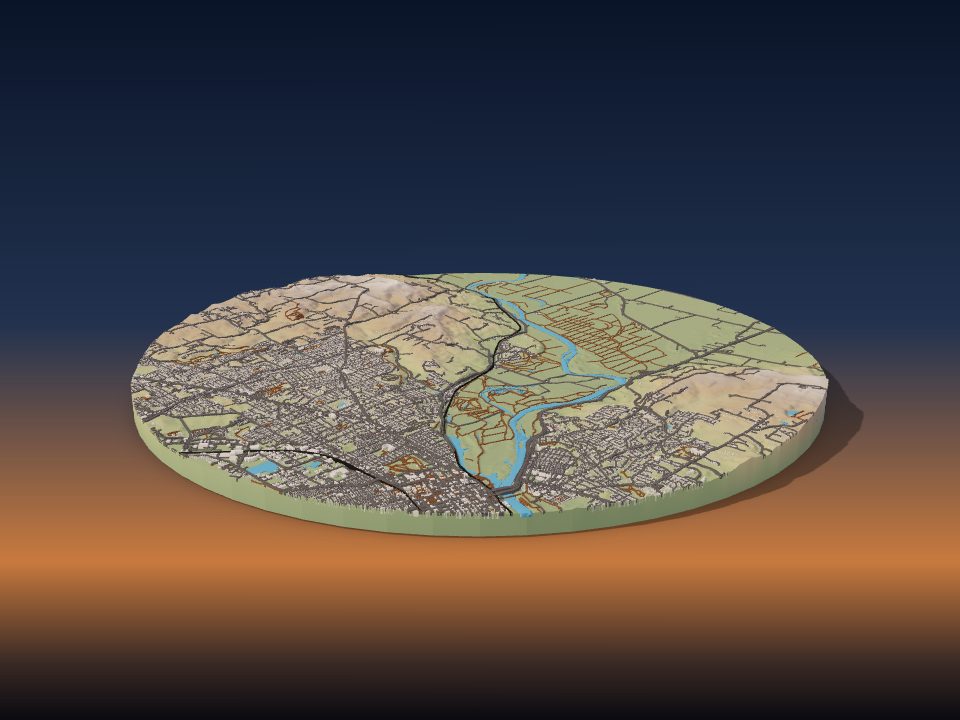
Willamette Valley
United States

Baliem Valley
Indonesia
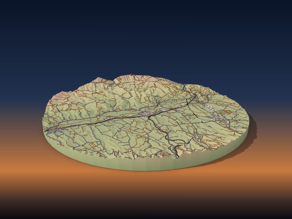
Mugello
Italy

Middle Rhine
Germany

Calchaquí Valleys
Argentina

Cocora Valley
Colombia
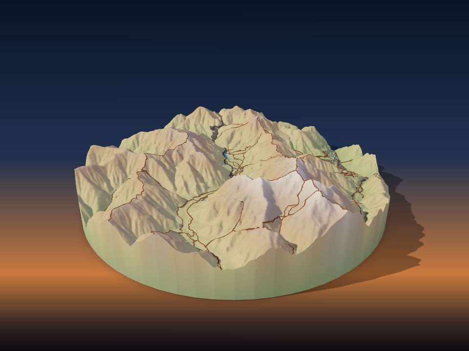
Kamikōchi
Japan
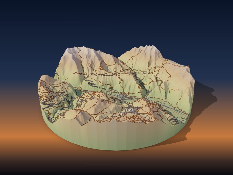
Oisans
France
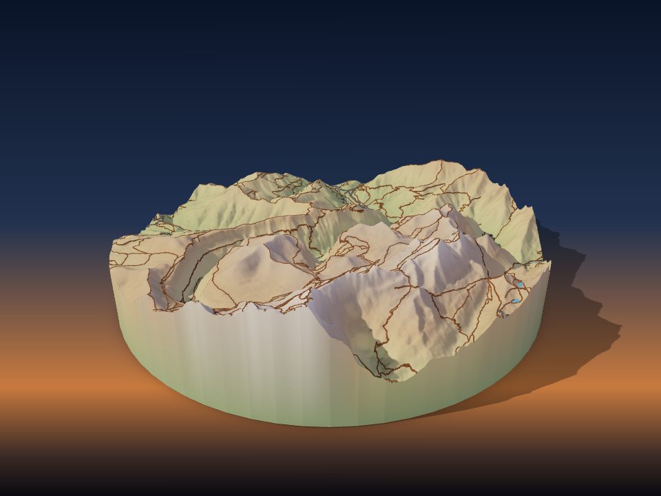
Ordesa Valley
Spain
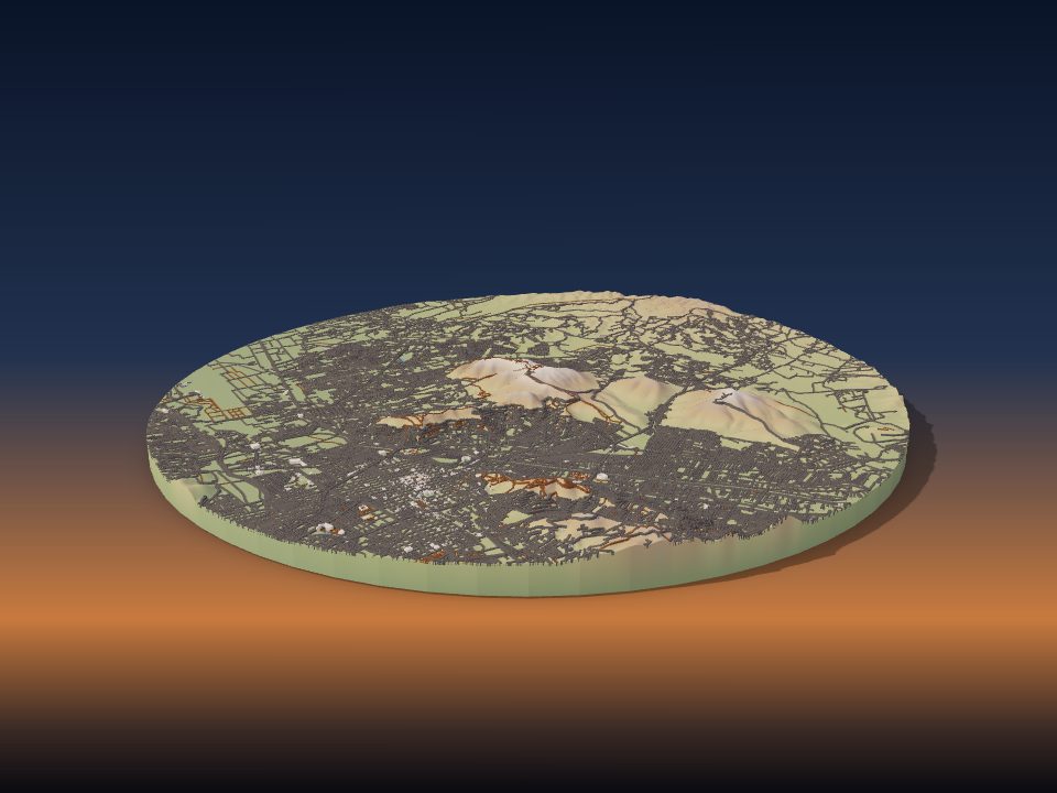
Valley of Oaxaca
Mexico

Rocky Mountain Trench
Canada

Waimangu Volcanic Rift Valley
New Zealand
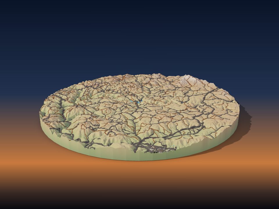
Taishaku Valley
Japan
Maps by country
- Italy 10
- United States 9
- Austria 5
- Switzerland 5
- People's Republic of China 4
- United Kingdom 4
- France 3
- Germany 3
- Iceland 3
- Nepal 3
- Cuba 2
- Japan 2
- Jordan 2
- Norway 2
- Peru 2
- Turkey 2
- Afghanistan 1
- Algeria 1
- Argentina 1
- Bulgaria 1
- Canada 1
- Chile 1
- Colombia 1
- Egypt 1
- Georgia 1
- Greece 1
- India 1
- Indonesia 1
- Israel 1
- Kosovo 1
- Lebanon 1
- Mexico 1
- Mongolia 1
- Namibia 1
- New Zealand 1
- Pakistan 1
- Poland 1
- Russia 1
- Slovenia 1
- Spain 1
- Sweden 1
More kinds of places
Can't find your place?
TerraPrinter works anywhere on Earth: draw an area around your hometown, favourite hike or holiday island and download it in seconds.
Make your own