3D printable maps: Mountain ranges
73 places, each a free STL or 3MF model made from real elevation data. Pick one to download it, or to change the area, size and colours first. Best-known places come first.
No place by that name yet. You can still make a map of it: open TerraPrinter and search for it there. Make your own
Germany 6
People's Republic of China 3
Serbia 3
Spain 3
United Kingdom 3
Austria 2
Bulgaria 2
Chile 2
Croatia 2
France 2
Greece 2
Israel 2
Italy 2
Japan 2
Mexico 2
Russia 2
More countries 29
Showing 61–73 of 73
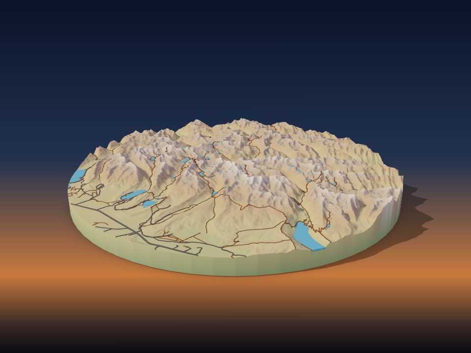
North American Cordillera
Mexico
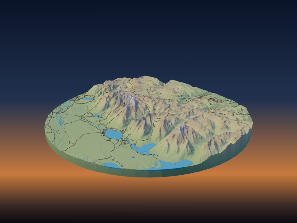
Teton Range
United States
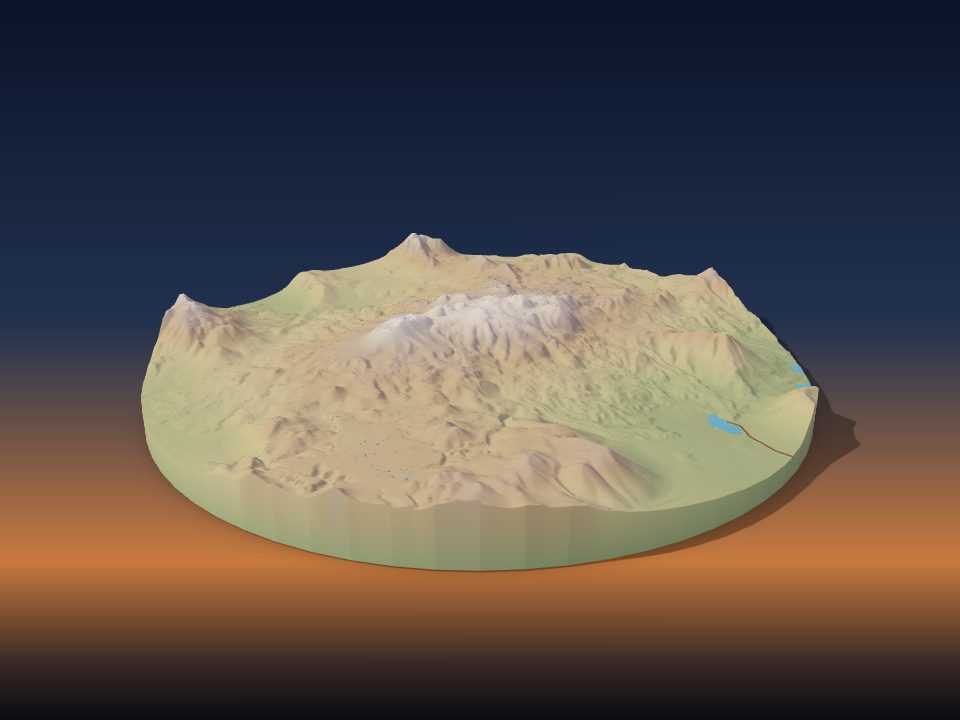
Sierra Nevada de Lagunas Bravas
Chile

Cordillera Huayhuash
Peru
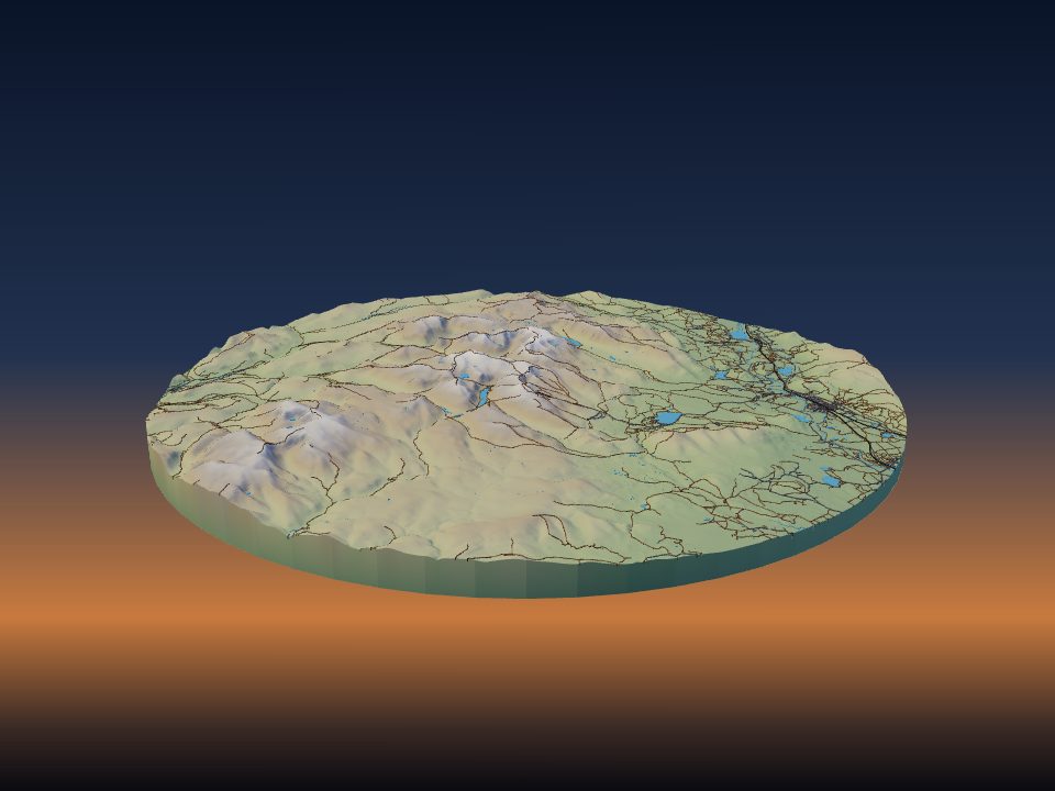
Cairngorms
United Kingdom
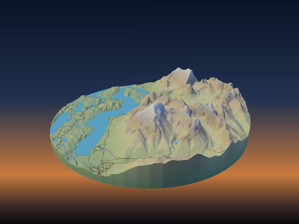
Cordillera del Paine
Chile
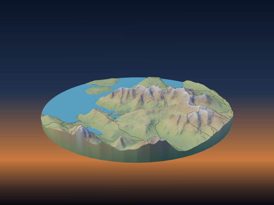
Cuillin
United Kingdom
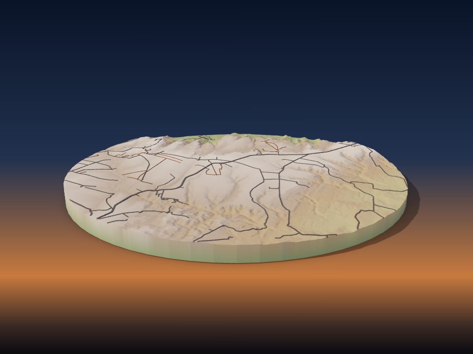
Mato Grosso Plateau
Brazil
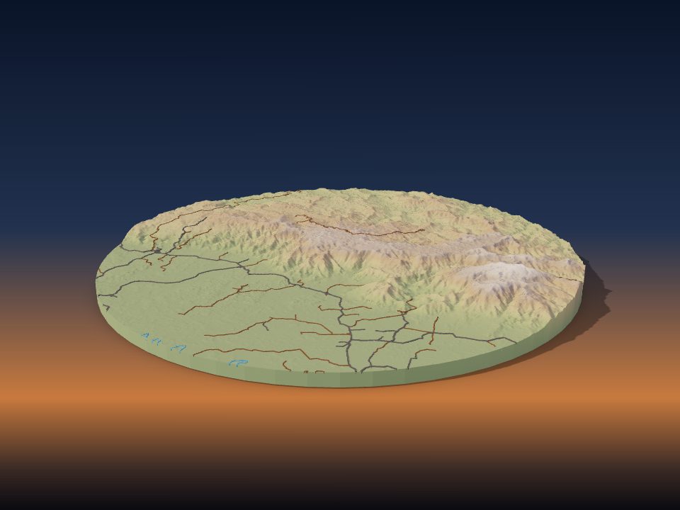
Serranía de la Macarena
Colombia
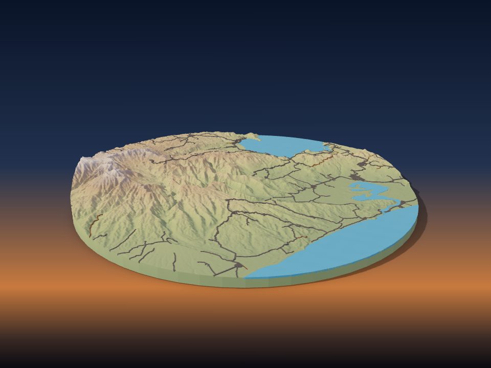
Sierra de los Tuxtlas
Mexico
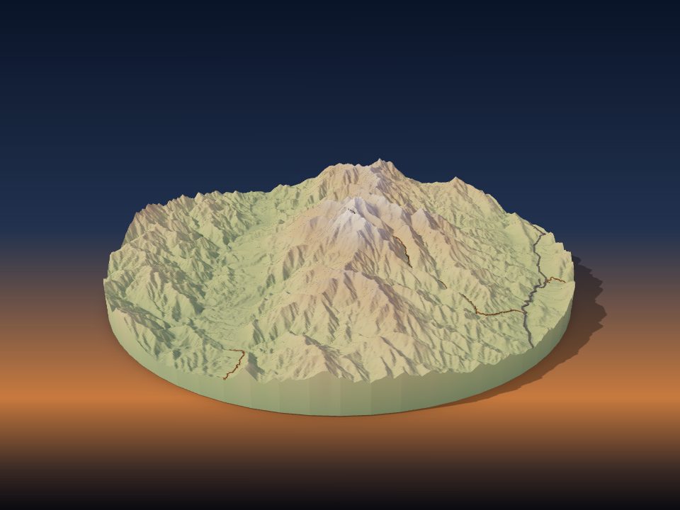
Kaikōura Ranges
New Zealand
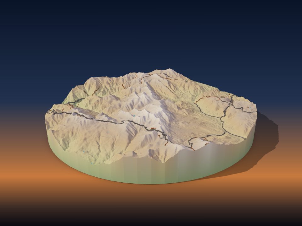
Serranía de Hornocal
Argentina
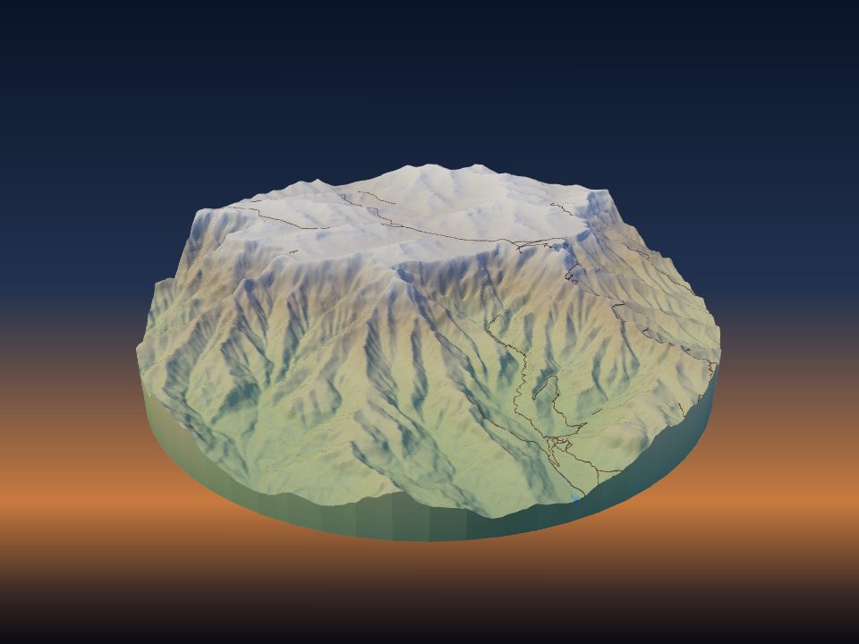
Amphitheatre
South Africa
Maps by country
- Germany 6
- People's Republic of China 3
- Serbia 3
- Spain 3
- United Kingdom 3
- Austria 2
- Bulgaria 2
- Chile 2
- Croatia 2
- France 2
- Greece 2
- Israel 2
- Italy 2
- Japan 2
- Mexico 2
- Russia 2
- South Africa 2
- Switzerland 2
- Turkey 2
- United States 2
- Afghanistan 1
- Argentina 1
- Armenia 1
- Australia 1
- Bosnia and Herzegovina 1
- Brazil 1
- Colombia 1
- Cyprus 1
- Czech Republic 1
- Democratic Republic of the Congo 1
- Hungary 1
- India 1
- Ireland 1
- Kosovo 1
- Malawi 1
- Nepal 1
- New Zealand 1
- North Macedonia 1
- Norway 1
- Peru 1
- Portugal 1
- Romania 1
- Slovakia 1
- Slovenia 1
- Uganda 1
More kinds of places
Can't find your place?
TerraPrinter works anywhere on Earth: draw an area around your hometown, favourite hike or holiday island and download it in seconds.
Make your own