3D printable maps: Cities & skylines
2,623 places, each a free STL or 3MF model made from real elevation data. Pick one to download it, or to change the area, size and colours first. Best-known places come first.
No place by that name yet. You can still make a map of it: open TerraPrinter and search for it there. Make your own
United States 292
Russia 150
Japan 147
Indonesia 124
India 116
United Kingdom 99
People's Republic of China 78
Turkey 76
Spain 64
Philippines 61
Brazil 60
Canada 57
Nigeria 57
Germany 55
Poland 46
France 43
More countries 136
Showing 2,401–2,460 of 2,623

Ataşehir
Turkey

Az Zāwīyah
Libya

Baia Mare
Romania

Balneário Camboriú
Brazil

Bandırma
Turkey

Banjarmasin
Indonesia

Barra Mansa
Brazil

Barranquilla
Colombia

Bayamón barrio-pueblo
United States

Başakşehir
Turkey

Belo Horizonte
Brazil

Belém
Brazil

Bergisch Gladbach
Germany

Berrechid
Morocco

Betim
Brazil

Bielefeld
Germany

Bilbao City
Spain

Blumenau
Brazil

Bochum
Germany
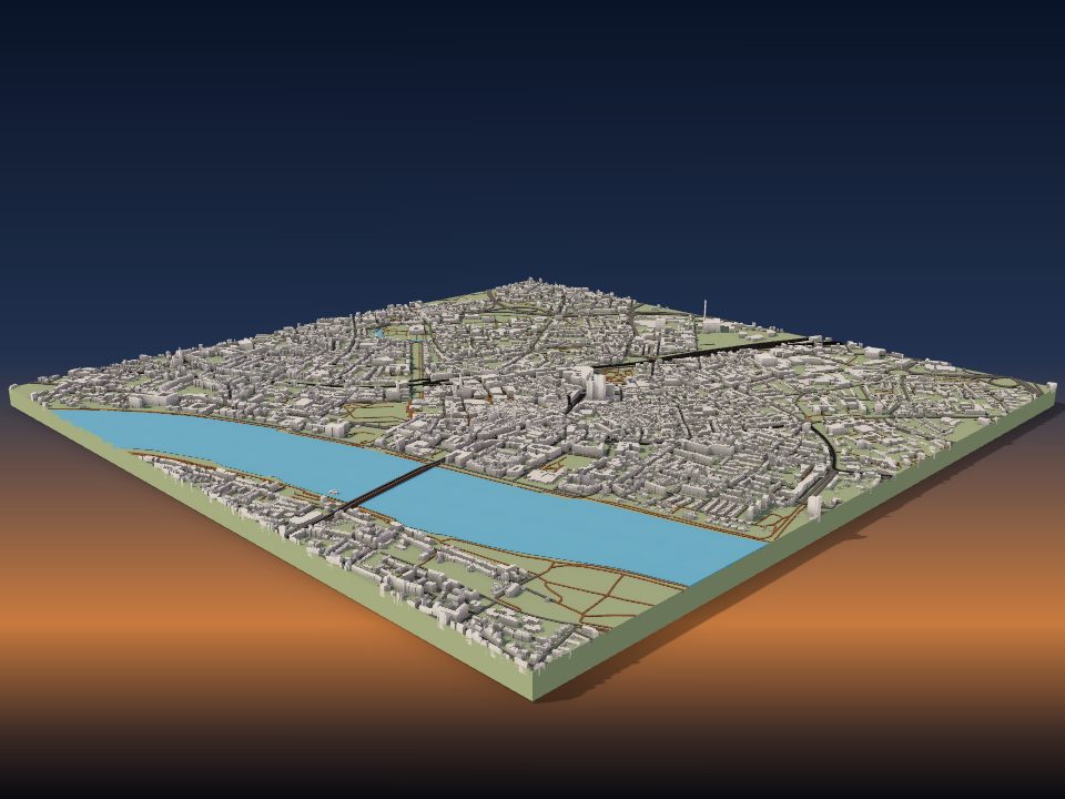
Bonn
Germany

Botucatu
Brazil

Braunschweig
Germany

Brașov
Romania

Brăila
Romania

Bucaramanga
Colombia

Buenaventura
Colombia

Building of the Ministry of Economy and Finance
Mali

Bunda
Tanzania

Büyükçekmece
Turkey

Cabo
Brazil

Cachoeirinha
Brazil

Carolina barrio-pueblo
United States

Cartagena
Colombia

Cartagena city
Spain

Changshu City
People's Republic of China

Chapecó
Brazil

Chía
Colombia

Ciego de Ávila
Cuba

Cienfuegos
Cuba

Cilacap
Indonesia

Cimahi
Indonesia

City of Valencia
Spain

Constanța
Romania

Craiova
Romania

Crato
Brazil

Cuiabá
Brazil

Cádiz City
Spain

Córdoba
Spain

Cúcuta
Colombia

Daejeon
South Korea

Donostia-San Sebastián
Spain

Dortmund
Germany

Dos Hermanas
Spain

East Hampton
United States

Erfurt
Germany

Erlangen
Germany

Esenyurt
Turkey

Facatativá
Colombia

Farīdpur
Bangladesh

Florencia
Colombia
Maps by country
- United States 292
- Russia 150
- Japan 147
- Indonesia 124
- India 116
- United Kingdom 99
- People's Republic of China 78
- Turkey 76
- Spain 64
- Philippines 61
- Brazil 60
- Canada 57
- Nigeria 57
- Germany 55
- Poland 46
- France 43
- Ukraine 41
- Colombia 34
- Mexico 29
- Tanzania 28
- Algeria 26
- South Korea 26
- Malaysia 25
- Netherlands 25
- Bangladesh 23
- Kazakhstan 23
- Romania 18
- Angola 17
- Democratic Republic of the Congo 17
- Italy 17
- Myanmar 17
- Morocco 16
- Argentina 15
- Australia 15
- Cameroon 15
- Zambia 15
- Chile 14
- Israel 14
- Uganda 14
- Belarus 13
- Egypt 13
- Iran 13
- Ivory Coast 13
- Libya 13
- Nepal 13
- South Africa 13
- Ghana 12
- Uzbekistan 12
- Venezuela 12
- Vietnam 12
- Cuba 11
- Kenya 11
- Mozambique 11
- Sweden 11
- Ecuador 10
- Peru 10
- Belgium 9
- Hungary 9
- Mali 9
- Portugal 9
- Senegal 9
- Taiwan 9
- New Zealand 8
- Serbia 8
- Sri Lanka 8
- Thailand 8
- Afghanistan 7
- Austria 7
- Greece 7
- Guatemala 7
- Guinea 7
- Madagascar 7
- Singapore 7
- Sudan 7
- Zimbabwe 7
- Bulgaria 6
- Ethiopia 6
- North Korea 6
- Norway 6
- Pakistan 6
- Palestine 6
- Switzerland 6
- Bosnia and Herzegovina 5
- Burkina Faso 5
- Czech Republic 5
- Finland 5
- Honduras 5
- Lebanon 5
- Paraguay 5
- Saudi Arabia 5
- Syria 5
- Tunisia 5
- Yemen 5
- Albania 4
- Benin 4
- Central African Republic 4
- Denmark 4
- El Salvador 4
- Jordan 4
- Malawi 4
- Niger 4
- Sierra Leone 4
- South Sudan 4
- Tajikistan 4
- United Arab Emirates 4
- Azerbaijan 3
- Bahrain 3
- Chad 3
- Dominican Republic 3
- Georgia 3
- Haiti 3
- Iraq 3
- Ireland 3
- Jamaica 3
- Kosovo 3
- Kuwait 3
- Kyrgyzstan 3
- Lithuania 3
- Mauritius 3
- Moldova 3
- Republic of the Congo 3
- Rwanda 3
- Slovakia 3
- Somalia 3
- Togo 3
- Armenia 2
- Bolivia 2
- Botswana 2
- Cambodia 2
- Croatia 2
- Cyprus 2
- Djibouti 2
- Equatorial Guinea 2
- Gabon 2
- Laos 2
- Mauritania 2
- Oman 2
- Panama 2
- Andorra 1
- Bhutan 1
- Cape Verde 1
- Costa Rica 1
- Eritrea 1
- Estonia 1
- Iceland 1
- Latvia 1
- Malta 1
- Mongolia 1
- Montenegro 1
- Namibia 1
- North Macedonia 1
- Slovenia 1
More kinds of places
Can't find your place?
TerraPrinter works anywhere on Earth: draw an area around your hometown, favourite hike or holiday island and download it in seconds.
Make your own