3D printable maps: Canyons
69 places, each a free STL or 3MF model made from real elevation data. Pick one to download it, or to change the area, size and colours first. Best-known places come first.
No place by that name yet. You can still make a map of it: open TerraPrinter and search for it there. Make your own
United States 10
Greece 6
Bulgaria 3
France 3
Iceland 3
Argentina 2
Canada 2
Georgia 2
Jordan 2
Mexico 2
Morocco 2
People's Republic of China 2
Russia 2
Albania 1
Armenia 1
Australia 1
More countries 25
Showing 61–69 of 69
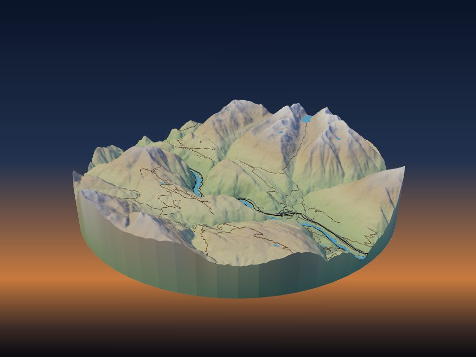
Fraser Canyon
Canada
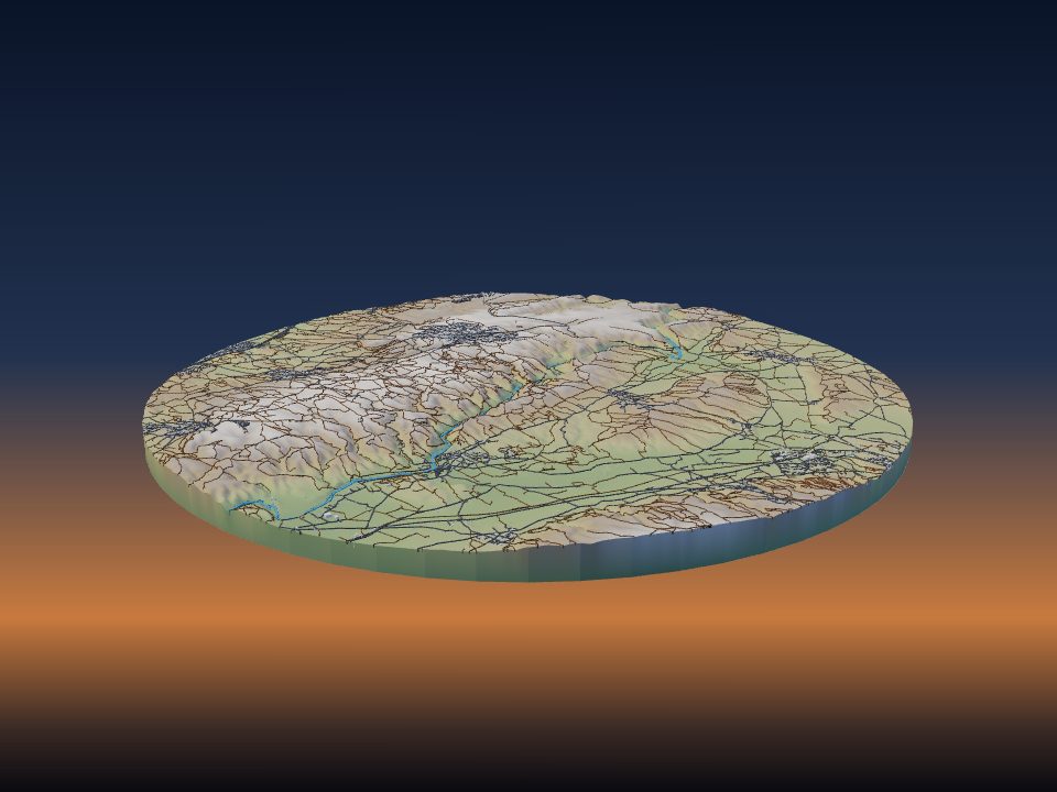
Gorges du Gardon
France
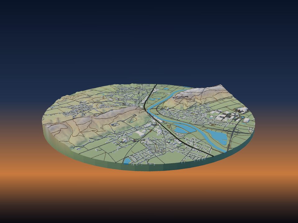
Porta Westfalica
Germany

Vashi Canyon
Iran
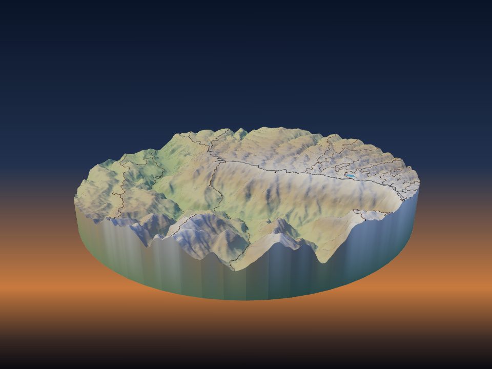
Waimea Canyon State Park
United States

Guartelá Canyon
Brazil
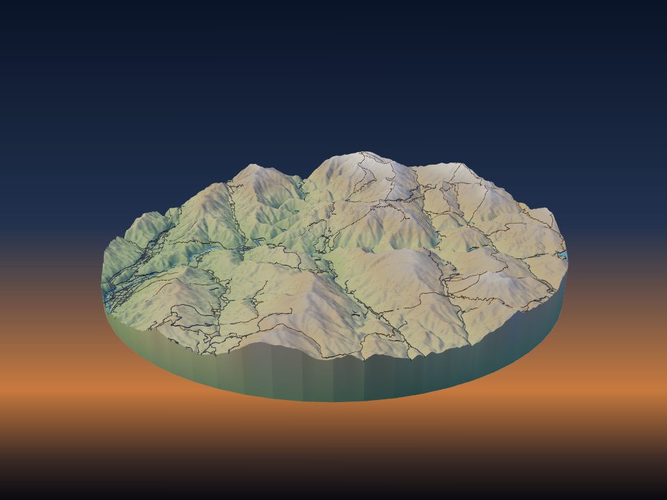
Sandan-kyō
Japan
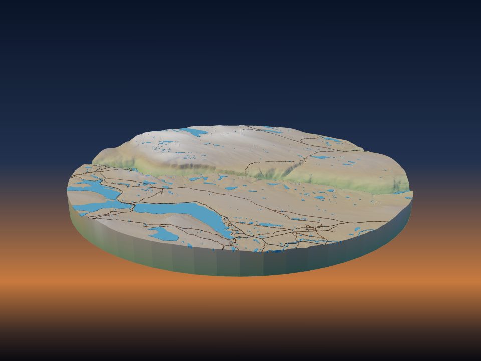
Sautso
Norway
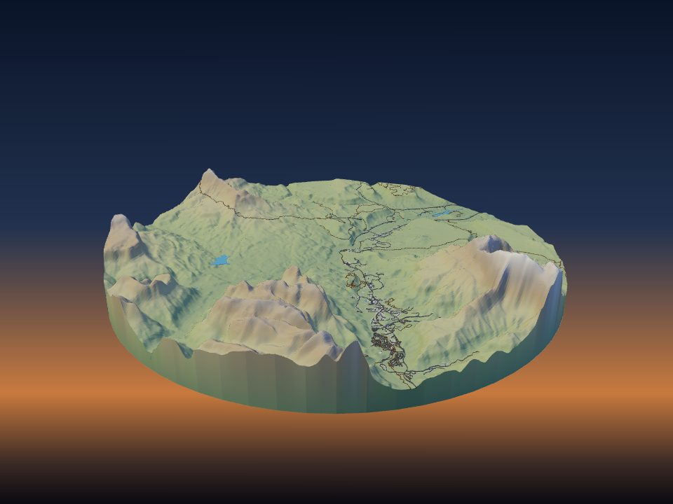
Zion Canyon
United States
Maps by country
- United States 10
- Greece 6
- Bulgaria 3
- France 3
- Iceland 3
- Argentina 2
- Canada 2
- Georgia 2
- Jordan 2
- Mexico 2
- Morocco 2
- People's Republic of China 2
- Russia 2
- Albania 1
- Armenia 1
- Australia 1
- Brazil 1
- Germany 1
- Iran 1
- Israel 1
- Japan 1
- Kazakhstan 1
- Kyrgyzstan 1
- Montenegro 1
- Namibia 1
- Nepal 1
- North Macedonia 1
- Norway 1
- Peru 1
- Poland 1
- Portugal 1
- Romania 1
- South Africa 1
- Spain 1
- Switzerland 1
- Taiwan 1
- Tunisia 1
- Turkey 1
- Ukraine 1
- United Kingdom 1
- Zambia 1
More kinds of places
Can't find your place?
TerraPrinter works anywhere on Earth: draw an area around your hometown, favourite hike or holiday island and download it in seconds.
Make your own