Start with a track. Drop a GPX or TCX file here, pick a sample, or draw a route on the map.
How the medal is made
Your track stays with you
The GPX or TCX file is read by your browser. Distance is measured along every point of the track; the climb comes from the file's own heights when it has them, smoothed so GPS jitter doesn't add up, or from terrain data when it doesn't. Long tracks are simplified for the print, never for the numbers.
Terrain or streets
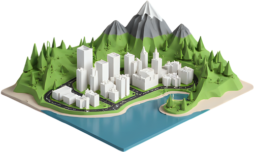
Terrain relief lifts the real ground under the route, exaggerated so hills read at medal size, with the route raised on top. Flat streets suits road races: main roads stand out from the land, water sits lower, and the route stands proud of both.
Printing in colour
The 3MF has one named part per colour: base, terrain or land, water, streets, route and lettering. On a single-nozzle printer, swap filament at the heights listed after the build. Flat streets gives every colour its own height; terrain relief gives the relief its own colour.
Ribbon, ring and stand
The medal has a ribbon slot in a strong raised tab, the keychain a reinforced hole for a split ring, and the trophy a solid plinth with a front plate. The back is engraved mirrored into the underside, so you print face up with no supports.
Map data © OpenStreetMap contributors. Elevation: Mapzen Terrain Tiles on AWS (SRTM, GMTED2010, ETOPO1 and others). Want a bigger model of the whole area? Open the TerraPrinter app or see more 3D map gift ideas.