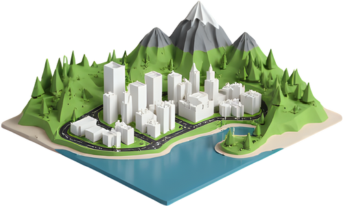
Rogers Centre 3D model
A free, print-ready model of the Rogers Centre in Toronto, Canada. Download it on its own with a name plate, or print it standing on the real terrain around it.
- Location
- Toronto, Canada
- Height
- 86 m
- Completed
- 1989
- Designed by
- Rod Robbie, with engineer Michael Allen
- Also known as
- SkyDome
- Print size
- 324 × 300 × 120 mm at the default height
- Supports
- None needed
About the Rogers Centre
Opened in 1989 as SkyDome, the Rogers Centre was the first stadium with a fully retractable motorized roof. It sits at the foot of the CN Tower.
What the model includes
The round stadium, its stepped roof panels and the hotel block over the outfield.
It is built from simple closed solids, so it slices cleanly and stands flat. In the download window you can set the height from 30 to 250 mm and add a base plate with the name in raised letters. The mesh has about 1,524 triangles, small enough to open in any slicer.
Print the Rogers Centre on its real terrain
Map data stores most buildings as a flat outline with a height, so the Rogers Centre would normally print as a plain block. In TerraPrinter, this model takes its place automatically. It is turned to match the outline in the map data and stands on the real elevation, with the streets, water and buildings around it.
More 3D landmarks
Questions
Is the Rogers Centre 3D model free?
Yes. You can download the Rogers Centre as an STL or 3MF for free, without an account, and print it as many times as you like.
What size should I print the Rogers Centre?
At the default height of 120 mm it measures 324 × 300 × 120 mm. Pick any height from 30 to 250 mm before downloading. Thin parts like spires and antennas print better at 100 mm and up on a 0.4 mm nozzle.
Do I need supports?
No. The model stands flat on its base and prints upright without supports.
Can I print the Rogers Centre with the city around it?
Yes. "Print on its terrain" opens TerraPrinter with the area around the Rogers Centre selected. When you generate the model, this landmark replaces the plain block from the map data and stands on the real terrain with the surrounding streets and buildings.