
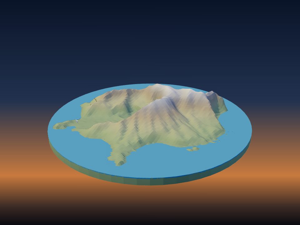
 Island
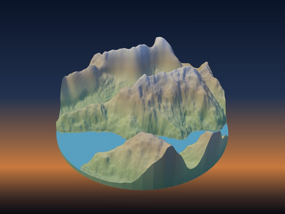
Whakaari / White Island 3D printable terrain model
A free, print-ready 3D model of Whakaari / White Island, generated from real elevation data. Download it as STL or 3MF, or customize it first.
Whakaari / White Island is island volcano in New Zealand's Bay of Plenty.
The model covers about 3 km across, from -16 m to 298 m above sea level – 314 m of relief.
Generate & downloadQuick facts
- Location
- New Zealand
- Coordinates
- 37.5200° S, 177.1825° E
- Area modelled
- 3 km across
- Highest point in model
- 298 m
- Lowest point in model
- -16 m
- Relief
- 314 m
Printing tips for Whakaari / White Island
- The relief here is gentle: try 2–3× vertical exaggeration so hills and valleys read clearly.
- A 150–200 mm print fits most printers; for bigger displays, use multi-tile mode and print it in pieces.
- Print at 0.12–0.16 mm layer height for smooth slopes and fine ridges, with 10–15% infill.
- Want color? Export 3MF: terrain, water, roads and buildings come out as separate parts for multi-color printers.
Questions
Is the Whakaari / White Island 3D model free?
Yes. TerraPrinter is free with no account needed: generate the model in your browser and download it as STL, 3MF, GLB or OBJ.
Which file format should I use for printing?
STL works with every slicer. 3MF keeps terrain, water, roads and buildings as separate colored parts, which is ideal for multi-color printers.
How big will the print be?
You choose: the default is 200 mm on the longest side. Larger models can be split into tiles or jigsaw puzzle pieces that fit your print bed.
Where does the terrain data come from?
Elevation comes from the Copernicus GLO-30 digital elevation model (about 30 m resolution), with Mapzen Terrain Tiles on AWS as a fallback. Buildings, roads and water come from OpenStreetMap.
More islands
More in New Zealand
Facts from Wikidata (CC0). Elevation: Copernicus DEM GLO-30 © DLR e.V. & Airbus, provided under COPERNICUS by the European Union and ESA; Mapzen Terrain Tiles on AWS. Map data © OpenStreetMap contributors.